IMAGES TAKEN NEAR TO
Fernside Avenue, FELTHAM, TW13 7BW
Introduction
This page details the photographs taken nearby to Fernside Avenue, TW13 7BW by members of the Geograph project.
The Geograph project started in 2005 with the aim of publishing, organising and preserving representative images for every square kilometre of Great Britain, Ireland and the Isle of Man.

There are currently over 7.5m images from over14,400 individuals and you can help contribute to the project by visiting https://www.geograph.org.uk
Image Map
Images are licensed for reuse under creativecommons.org/licenses/by-sa/2.0
Notes
- Clicking on the map will re-center to the selected point.
- The higher the marker number, the further away the image location is from the centre of the postcode.
Image Listing (59 Images Found)
Images are licensed for reuse under creativecommons.org/licenses/by-sa/2.0
Image
Details
Distance
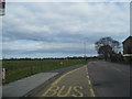
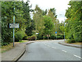
4
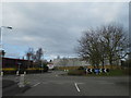
Roundabout on Felthambrook Way
At the start of the industrial estate
Image: © David Howard
Taken: 14 Apr 2013
0.10 miles

8
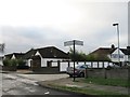
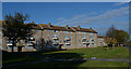
Elmwood Avenue overlooking Hanworth Park
Image: © David Howard
Taken: 14 Apr 2013
0.13 miles
9
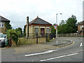
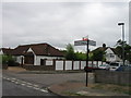
Valve house, Kempton Park - Fortis Green water main
On the corner of Felthambrook Way and Elmwood Avenue. The underground water main runs beside Felthambrook Way/Forest Road here.
Image: © Robin Webster
Taken: 16 Sep 2012
0.13 miles
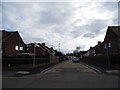
10
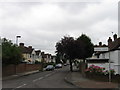
Felthambrook Way
South of the left turning, Roebuck Close, into a residential area.
Image: © Robin Webster
Taken: 16 Sep 2012
0.13 miles