
IMAGES TAKEN NEAR TO
Lower Sunbury Road, HAMPTON, TW12 2FZ
Introduction
This page details the photographs taken nearby to Lower Sunbury Road, TW12 2FZ by members of the Geograph project.
The Geograph project started in 2005 with the aim of publishing, organising and preserving representative images for every square kilometre of Great Britain, Ireland and the Isle of Man.

There are currently over 7.5m images from over14,400 individuals and you can help contribute to the project by visiting https://www.geograph.org.uk
Image Map
Images are licensed for reuse under creativecommons.org/licenses/by-sa/2.0
Notes
- Clicking on the map will re-center to the selected point.
- The higher the marker number, the further away the image location is from the centre of the postcode.
Image Listing (38 Images Found)
Images are licensed for reuse under creativecommons.org/licenses/by-sa/2.0
Image
Details
Distance
1
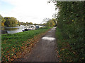
Thames Path
Going past Molesey Reservoirs.
Image: © Hugh Venables
Taken: 6 Nov 2010
0.04 miles
2
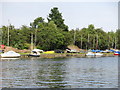
The River Thames by the western end of Sunnyside Reservoir
Image: © Mike Quinn
Taken: 6 Jun 2018
0.06 miles
3
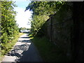
Wall of Molesey Reservoirs next to Thames Path
The wall hides the Molesey Reservoirs and water treatment works. They were built around 1900 and within the last few years have been used for gravel extraction rather than storing water. Soon they will be decommissioned and turned into a wildlife sanctuary.
Image: © Sean Davis
Taken: 30 Jul 2008
0.08 miles
4
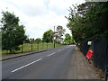
Lower Hampton Road
Beside Stain Hill Reservoirs.
Image: © JThomas
Taken: 27 May 2022
0.08 miles
5
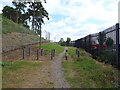
Footpath off Lower Hampton Road
Beside Stain Hill Reservoir.
Image: © JThomas
Taken: 27 May 2022
0.11 miles
6

Sailing boats beside Sunnyside Reservoir, Sunbury
From across the Thames at Molesey.
Image: © Mike Pennington
Taken: 16 Nov 2017
0.12 miles
7
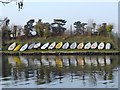
Dinghies on the riverbank, at Aquarius Sailing Club
Aquarius Sailing Club is based on the Thames Water site at Sunnyside Reservoir. This is the view across the Thames from the Surrey bank. Taken at about 5 o'clock on a March evening, as club members were getting everything squared away.
Image: © Stefan Czapski
Taken: 11 Mar 2012
0.12 miles
8
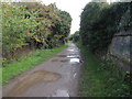
Thames Path
Going past Molesey Reservoirs.
Image: © Hugh Venables
Taken: 6 Nov 2010
0.12 miles
9
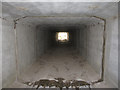
Molesey Reservoir outflow
Molesey Reservoirs were made obsolete through improvements at Walton water treatment works. They have been dredged for gravel and are now being landscaped for wildlife (after they were initially drained in the 1990s they became very good for birdwatching). This overflow is presumably because the reservoir bunds are not considered safe any more and this ensures water levels can't rise to dangerous levels.
Image: © Hugh Venables
Taken: 6 Nov 2010
0.12 miles
10
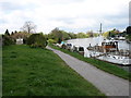
The River Thames at West Molesey
The Thames Path is in the foreground.
Image: © David Purchase
Taken: 27 Apr 2013
0.14 miles