Wall of Molesey Reservoirs next to Thames Path
Introduction
The photograph on this page of Wall of Molesey Reservoirs next to Thames Path by Sean Davis as part of the Geograph project.
The Geograph project started in 2005 with the aim of publishing, organising and preserving representative images for every square kilometre of Great Britain, Ireland and the Isle of Man.

There are currently over 7.5m images from over 14,400 individuals and you can help contribute to the project by visiting https://www.geograph.org.uk
Wall of Molesey Reservoirs next to Thames Path
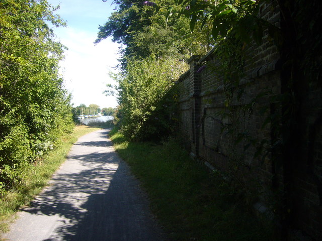
Image: © Sean Davis Taken: 30 Jul 2008
The wall hides the Molesey Reservoirs and water treatment works. They were built around 1900 and within the last few years have been used for gravel extraction rather than storing water. Soon they will be decommissioned and turned into a wildlife sanctuary.
Images are licensed for reuse under creativecommons.org/licenses/by-sa/2.0
Image Location
Latitude
51.408818
Longitude
-0.385658