
IMAGES TAKEN NEAR TO
Carleen, HELSTON, TR13 9NG
Introduction
This page details the photographs taken nearby to Carleen, TR13 9NG by members of the Geograph project.
The Geograph project started in 2005 with the aim of publishing, organising and preserving representative images for every square kilometre of Great Britain, Ireland and the Isle of Man.

There are currently over 7.5m images from over14,400 individuals and you can help contribute to the project by visiting https://www.geograph.org.uk
Image Map
Images are licensed for reuse under creativecommons.org/licenses/by-sa/2.0
Notes
- Clicking on the map will re-center to the selected point.
- The higher the marker number, the further away the image location is from the centre of the postcode.
Image Listing (8 Images Found)
Images are licensed for reuse under creativecommons.org/licenses/by-sa/2.0
Image
Details
Distance
1
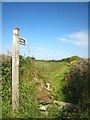
Public footpath to Polladras from Carleen
Image: © Rod Allday
Taken: 30 May 2013
0.08 miles
2
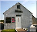
The Church in Carleen
What can I say?
Image: © Ken Ballinger
Taken: 12 Sep 2005
0.09 miles
3
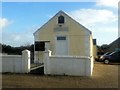
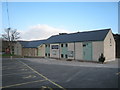
Carleen Community Church
Former Apostolic church.
Image: © Paul Barnett
Taken: 21 Oct 2015
0.09 miles
4
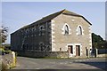
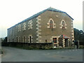
Former Methodist chapel at Carleen
In the early nineteenth century there was a huge increase in the number of miners working at Wheal Vor. Many of them were Methodists and this chapel and Sunday School was built in 1833, replacing a smaller earlier one. The building is no longer a chapel but is still the largest building in the village.
Image: © Elizabeth Scott
Taken: 1 Oct 2011
0.17 miles
7
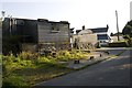
Polladras Farm
Outbuildings and house at Polladras Farm.
Image: © Elizabeth Scott
Taken: 1 Oct 2011
0.19 miles
8
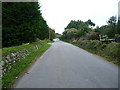
A stretch of road at Carleen
A short length of the unclassified lane that joins the B3302 near Sithney Image to the B3280 at Townshend Image
Image: © Richard Law
Taken: 11 Oct 2015
0.23 miles