A stretch of road at Carleen
Introduction
The photograph on this page of A stretch of road at Carleen by Richard Law as part of the Geograph project.
The Geograph project started in 2005 with the aim of publishing, organising and preserving representative images for every square kilometre of Great Britain, Ireland and the Isle of Man.

There are currently over 7.5m images from over 14,400 individuals and you can help contribute to the project by visiting https://www.geograph.org.uk
A stretch of road at Carleen
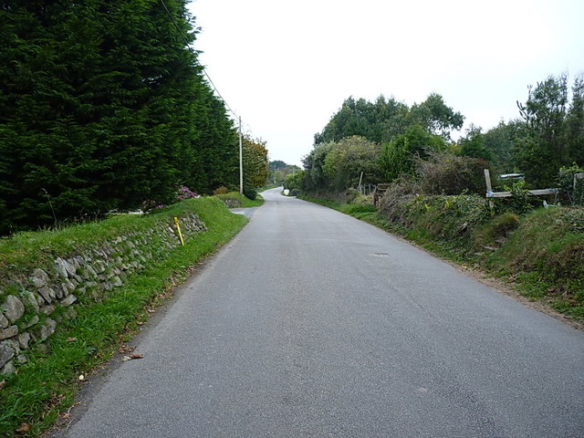
Image: © Richard Law Taken: 11 Oct 2015
A short length of the unclassified lane that joins the B3302 near Sithney Image to the B3280 at Townshend Image
Images are licensed for reuse under creativecommons.org/licenses/by-sa/2.0
Image Location
Latitude
50.122555
Longitude
-5.329703