
IMAGES TAKEN NEAR TO
Halesfield 1, TELFORD, TF7 4QQ
Introduction
This page details the photographs taken nearby to Halesfield 1, TF7 4QQ by members of the Geograph project.
The Geograph project started in 2005 with the aim of publishing, organising and preserving representative images for every square kilometre of Great Britain, Ireland and the Isle of Man.

There are currently over 7.5m images from over14,400 individuals and you can help contribute to the project by visiting https://www.geograph.org.uk
Image Map
Images are licensed for reuse under creativecommons.org/licenses/by-sa/2.0
Notes
- Clicking on the map will re-center to the selected point.
- The higher the marker number, the further away the image location is from the centre of the postcode.
Image Listing (22 Images Found)
Images are licensed for reuse under creativecommons.org/licenses/by-sa/2.0
Image
Details
Distance
1
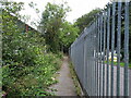
Footway through Halesfield Industrial Park
Fences on both sides; the businesses here apparently have a concern about security and intruders.
Image: © Richard Law
Taken: 13 Aug 2023
0.02 miles
2
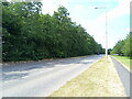
Halesfield 1 and Piper's Coppice
Now much reduced in size by the development of Halesfield industrial estate, Piper's Coppice was once a working woodland to the east of Kemberton Colliery, which occupied the ground roughly where Image now stands. Fragments of the wood remain in places nearby, but it's clearly a shadow of what is shown on the maps of the 1920s.
Image: © Richard Law
Taken: 10 Jun 2023
0.04 miles
4
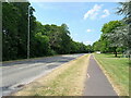
Halesfield 1 and Piper's Coppice
The subject of this photo lies slightly north of Image, and shows another part of the former Piper's Coppice area. This was once a working woodland to the east of Kemberton Colliery, which occupied the ground roughly where Image now stands. Fragments of the wood, and tghe adjoining Hem Coppice, remain in places nearby, but it's clearly a shadow of what is shown on the maps of the 1920s.
Image: © Richard Law
Taken: 10 Jun 2023
0.07 miles
5
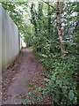
Footway through Halesfield Industrial Park
A high fence separates the path from a concrete block producer just to the west.
Image: © Richard Law
Taken: 13 Aug 2023
0.08 miles
6
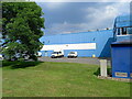
Factory unit on Halesfield 1
Built in the 1980s, or possibly a little later, this unit occupies land which was once wholly wooded by the southern end of Hem Coppice, or the northern end of Piper's Coppice, an ancient woodland that covered much of this area in the late 19th century. My recollection as a child in the 1970s is that it was also effectively common land, and sometimes grazed by pigs. Fragments of the woodlands remain, but much has been removed by development.
Image: © Richard Law
Taken: 10 Jun 2023
0.08 miles
7
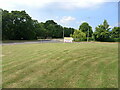
Junction of Halesfield 2 with Halesfield 1
A substantial grassy verge at the junction of a side road on Halesfield Industrial Estate
Image: © Richard Law
Taken: 10 Jun 2023
0.09 miles
8
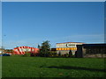
Halesfield 2
A couple of factories off the main Halesfield-Stirchley road (Halesfield 1).
Image: © Steve McShane
Taken: 12 Nov 2005
0.10 miles
9
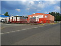
Parcels Delivery business on Halesfield 2
This business was based at the industrial estate in Shifnal a few years ago, but presumably outgrew those premises and relocated here on Halesfield as a result.
Image: © Richard Law
Taken: 10 Jun 2023
0.12 miles
10
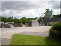
Besblock - concrete block producers
The stock yard and production plant of Besblock Ltd, producers of concrete building blocks, and based on Halesfield for many years.
Image: © Richard Law
Taken: 18 Jul 2009
0.13 miles