
IMAGES TAKEN NEAR TO
Springhill Crescent, TELFORD, TF7 4DJ
Introduction
This page details the photographs taken nearby to Springhill Crescent, TF7 4DJ by members of the Geograph project.
The Geograph project started in 2005 with the aim of publishing, organising and preserving representative images for every square kilometre of Great Britain, Ireland and the Isle of Man.

There are currently over 7.5m images from over14,400 individuals and you can help contribute to the project by visiting https://www.geograph.org.uk
Image Map
Images are licensed for reuse under creativecommons.org/licenses/by-sa/2.0
Notes
- Clicking on the map will re-center to the selected point.
- The higher the marker number, the further away the image location is from the centre of the postcode.
Image Listing (10 Images Found)
Images are licensed for reuse under creativecommons.org/licenses/by-sa/2.0
Image
Details
Distance
1
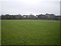
Playing fields near Madeley
A field behind the Haughton School grounds, set out as a football pitch.
Image: © Richard Law
Taken: 6 Feb 2010
0.16 miles
3
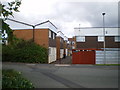
Sutton Hill houses
Typical housing of the Sutton Hill estate; built in the 1960s under the auspices of Telford Development Corporation (which is now defunct), along with several other estates around the area. Some are now being pulled down and redeveloped.
Image: © Richard Law
Taken: 29 Aug 2009
0.16 miles
4
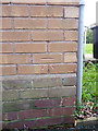
OS benchmark - Sutton Hill, 124 Summerhill
An OS cutmark on the wall of house no 124; originally levelled at 105.851m above Ordnance Datum Newlyn.
Image: © Richard Law
Taken: 15 Nov 2015
0.20 miles
5
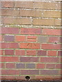
OS benchmark - Sutton Hill, 98 Stebbings
An OS cutmark on a wall at the side of a narrow path between houses on Sutton Hill; originally levelled at 117.796m above Ordnance Datum Newlyn.
Image: © Richard Law
Taken: 15 Nov 2015
0.21 miles
6
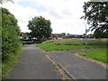
Sutton Way
Paved paths in an informal park.
Image: © Richard Webb
Taken: 30 Jun 2014
0.21 miles
8
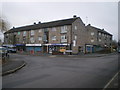
Parade of shops in Madeley
On the corner of Hills Lane Drive
Image: © Richard Law
Taken: 6 Feb 2010
0.22 miles
9
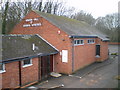
The Kingdom Hall of Jehovahs' Witnesses, Madeley
This hall was demolished in late 2011, and a new Kingdom Hall has now been erected.
Image: © Richard Law
Taken: 6 Feb 2010
0.22 miles
10
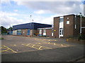
Sutton Hill Community and Youth Centre
Found amongst the buildings in the centre of the estate, near the church and supermarket.
Image: © Richard Law
Taken: 29 Aug 2009
0.23 miles