IMAGES TAKEN NEAR TO
Rowton, TELFORD, TF6 6QY
Introduction
This page details the photographs taken nearby to TF6 6QY by members of the Geograph project.
The Geograph project started in 2005 with the aim of publishing, organising and preserving representative images for every square kilometre of Great Britain, Ireland and the Isle of Man.

There are currently over 7.5m images from over14,400 individuals and you can help contribute to the project by visiting https://www.geograph.org.uk
Image Map
Images are licensed for reuse under creativecommons.org/licenses/by-sa/2.0
Notes
- Clicking on the map will re-center to the selected point.
- The higher the marker number, the further away the image location is from the centre of the postcode.
Image Listing (6 Images Found)
Images are licensed for reuse under creativecommons.org/licenses/by-sa/2.0
Image
Details
Distance
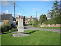
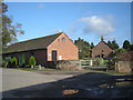
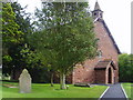
2
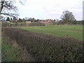
Rowton
The tiny hamlet of Rowton exists entirely within this square.
Image: © Michael Patterson
Taken: 20 Feb 2007
0.07 miles
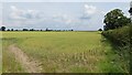
3
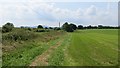
Grass field, Rowton
Amongst fields with cereal crops.
Image: © Richard Webb
Taken: 2 Jul 2014
0.14 miles