IMAGES TAKEN NEAR TO
Dallamoor, TELFORD, TF3 2EG
Introduction
This page details the photographs taken nearby to Dallamoor, TF3 2EG by members of the Geograph project.
The Geograph project started in 2005 with the aim of publishing, organising and preserving representative images for every square kilometre of Great Britain, Ireland and the Isle of Man.

There are currently over 7.5m images from over14,400 individuals and you can help contribute to the project by visiting https://www.geograph.org.uk
Image Map
Images are licensed for reuse under creativecommons.org/licenses/by-sa/2.0
Notes
- Clicking on the map will re-center to the selected point.
- The higher the marker number, the further away the image location is from the centre of the postcode.
Image Listing (10 Images Found)
Images are licensed for reuse under creativecommons.org/licenses/by-sa/2.0
Image
Details
Distance
1
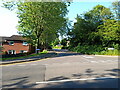
At the junction of Deepdale with Dale Acre Way
Deepdale is one of the roads that leads to the interior of the Hollinswood estate.
Image: © Richard Law
Taken: 4 Jun 2023
0.11 miles
2
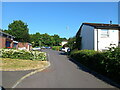
Deepdale on Hollinswood
Houses and occupants' cars parked up on Deepdale, one of the roads in Hollinswood estate.
Image: © Richard Law
Taken: 4 Jun 2023
0.13 miles
3
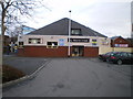
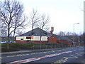
Hollinswood - The Woodcutter pub
This is the main pub on the Hollinswood estate, right next to the local centre.
Image: © Richard Law
Taken: 24 Jan 2010
0.19 miles
5
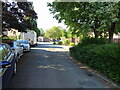
Houses and cars (but mainly cars) on Danesford
One of the roads on the extensive Hollinswood housing estate.
Image: © Richard Law
Taken: 4 Jun 2023
0.20 miles
6
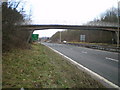
Bridge across the EP
The cycleway and footpath between Hollinswood and Priorslee crosses the main A442 (the Eastern Primary) via this bridge.
Image: © Richard Law
Taken: 24 Jan 2010
0.22 miles
7
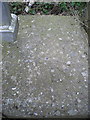
OS rivet - Hollinswood, bridge over Queensway
An OS cutmark and rivet on the concrete parapet of the footbridge over the A442 Queensway dual carriageway; originally levelled in 1986 at 147.451m above Ordnance Datum Newlyn.
Image: © Richard Law
Taken: 6 Apr 2014
0.22 miles
8
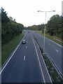
A442 Queensway looking north
Up the 'Eastern Primary' road (its original and rather unimaginative name before it was given Queensway) in the general direction of Telford Town Centre.
Image: © Richard Law
Taken: 13 Sep 2024
0.24 miles
9
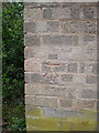
OS benchmark - Hollinswood, no 65 Duffryn
An OS cutmark on a garden wall belonging to no 65 Duffryn; originally levelled in 1984 at 136.598m above Ordnance Datum Newlyn.
Image: © Richard Law
Taken: 6 Apr 2014
0.25 miles