At the junction of Deepdale with Dale Acre Way
Introduction
The photograph on this page of At the junction of Deepdale with Dale Acre Way by Richard Law as part of the Geograph project.
The Geograph project started in 2005 with the aim of publishing, organising and preserving representative images for every square kilometre of Great Britain, Ireland and the Isle of Man.

There are currently over 7.5m images from over 14,400 individuals and you can help contribute to the project by visiting https://www.geograph.org.uk
At the junction of Deepdale with Dale Acre Way
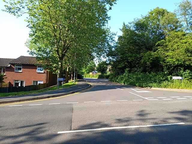
Image: © Richard Law Taken: 4 Jun 2023
Deepdale is one of the roads that leads to the interior of the Hollinswood estate.
Images are licensed for reuse under creativecommons.org/licenses/by-sa/2.0
Image Location
Latitude
52.673045
Longitude
-2.435492