
IMAGES TAKEN NEAR TO
Waterloo Road, TELFORD, TF1 5AY
Introduction
This page details the photographs taken nearby to Waterloo Road, TF1 5AY by members of the Geograph project.
The Geograph project started in 2005 with the aim of publishing, organising and preserving representative images for every square kilometre of Great Britain, Ireland and the Isle of Man.

There are currently over 7.5m images from over14,400 individuals and you can help contribute to the project by visiting https://www.geograph.org.uk
Image Map
Images are licensed for reuse under creativecommons.org/licenses/by-sa/2.0
Notes
- Clicking on the map will re-center to the selected point.
- The higher the marker number, the further away the image location is from the centre of the postcode.
Image Listing (11 Images Found)
Images are licensed for reuse under creativecommons.org/licenses/by-sa/2.0
Image
Details
Distance
2
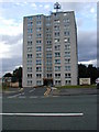
Tower block at Ketley
Telford was built with very few high-rise developments - this is one of them - a similar building (Manor Heights) was built in Hadley a few kilometres north. Both have had extensive restoration.
Image: © Bob Bowyer
Taken: 7 Sep 2005
0.13 miles
5
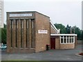
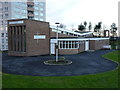
Ketley Methodist Church
An interesting building, if not a pretty one, situated at a crossroads. Ketley's tower block can be seen to the left.
Image: © Mike White
Taken: 24 Jul 2008
0.17 miles
6
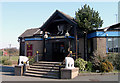
Elephant & Castle Pub, Ketley
The ornamental entrance to the Elephant & Castle pub at Holyhead Road, Ketley. You could be forgiven to thinking that it was a chinese restaurant.
Image: © Gordon Cragg
Taken: Unknown
0.17 miles
7
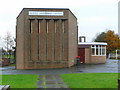
Ketley Methodist Church
The church opened in 1966 on the corner of Station Road and Waterloo Road.
Image: © Jonathan Billinger
Taken: 13 Nov 2008
0.18 miles
8
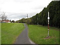
Former railway route at Ketley
Looking north from the former level crossing at Ketley station, there is little sign of the trackbed toward Ketley Junction and Wellington. This part of the Wellington-Craven Arms route closed in 1961. Considerable earth has been dumped as the line started to descend into a cutting at this point. Trees on the right mark the boundary of the Aga factory which had its own sidings and still survived in 2008.
Image: © Peter Whatley
Taken: 11 Apr 2008
0.19 miles
9
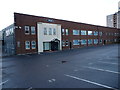
The AGA factory at Ketley
Makers of the famous AGA Rayburn cookers, as found in every self respecting cottage in the land...
Image: © Richard Law
Taken: 18 Dec 2011
0.19 miles
10
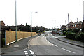
Waterloo Road, Hadley
Looking South toward Ketley.
Image: © Gordon Cragg
Taken: 17 Mar 2009
0.24 miles