Ketley Methodist Church
Introduction
The photograph on this page of Ketley Methodist Church by Jonathan Billinger as part of the Geograph project.
The Geograph project started in 2005 with the aim of publishing, organising and preserving representative images for every square kilometre of Great Britain, Ireland and the Isle of Man.

There are currently over 7.5m images from over 14,400 individuals and you can help contribute to the project by visiting https://www.geograph.org.uk
Ketley Methodist Church
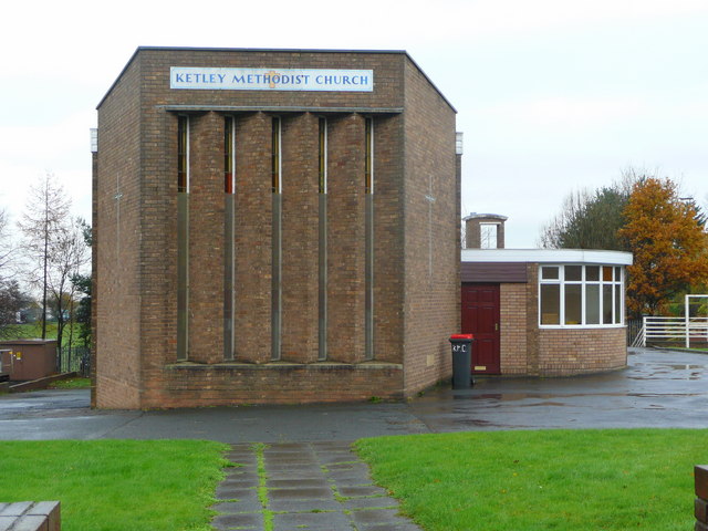
Image: © Jonathan Billinger Taken: 13 Nov 2008
The church opened in 1966 on the corner of Station Road and Waterloo Road.
Images are licensed for reuse under creativecommons.org/licenses/by-sa/2.0
Image Location
Latitude
52.69615
Longitude
-2.481444