
IMAGES TAKEN NEAR TO
Botfield Road, SHIFNAL, TF11 8EP
Introduction
This page details the photographs taken nearby to Botfield Road, TF11 8EP by members of the Geograph project.
The Geograph project started in 2005 with the aim of publishing, organising and preserving representative images for every square kilometre of Great Britain, Ireland and the Isle of Man.

There are currently over 7.5m images from over14,400 individuals and you can help contribute to the project by visiting https://www.geograph.org.uk
Image Map
Images are licensed for reuse under creativecommons.org/licenses/by-sa/2.0
Notes
- Clicking on the map will re-center to the selected point.
- The higher the marker number, the further away the image location is from the centre of the postcode.
Image Listing (122 Images Found)
Images are licensed for reuse under creativecommons.org/licenses/by-sa/2.0
Image
Details
Distance
1
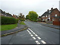
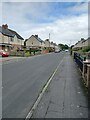
Barn Road at the junction with Botfield Road
Part of the extensive housing developments that were built in the 1950s on this side of Shifnal.
Image: © Richard Law
Taken: 19 Oct 2021
0.05 miles
2
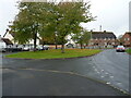
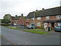
Green space on Botfield Road
One of several such small greens in this development of 1950s housing.
Image: © Richard Law
Taken: 19 Oct 2021
0.05 miles
3
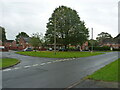
Green space on Barn Road
A very similar area to Image, and which would quite likely have been intended as a play area at the time the houses were built.
Image: © Richard Law
Taken: 19 Oct 2021
0.06 miles
4
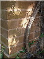
OS benchmark - no 31 Barn Road, Shifnal
A cutmark in the brickwork of no 31 Barn Road, levelled at height of 91.632m, 300'7" above Ordnance Datum Newlyn.
Image: © Richard Law
Taken: 28 Jul 2013
0.06 miles
7
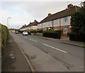
Orchard Road houses, Shifnal
Three rows each with four houses.
Image: © Jaggery
Taken: 16 Nov 2015
0.09 miles
8
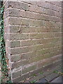
OS benchmark - no 29 Curriers Lane, Shifnal
A cutmark in the brickwork of no 29 Curriers Lane, obviously hiding behind ivy or something similar until recently. Levelled at a height of 90.1202m, 295'8" above Ordnance Datum Newlyn.
Image: © Richard Law
Taken: 28 Jul 2013
0.09 miles
9
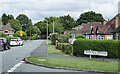
Currier's Lane in Shifnal
Currier's Lane is in the eastern part of Shifnal. Greenfields Crescent is of course the road branching to the right.
Image: © Trevor Littlewood
Taken: 2 Aug 2022
0.10 miles
10
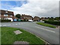
Greenfields Crescent joins Curriers Lane
Exit road from the extensive Greenfields estate onto Curriers Lane.
Image: © Richard Law
Taken: 22 Aug 2021
0.10 miles