Green space on Barn Road
Introduction
The photograph on this page of Green space on Barn Road by Richard Law as part of the Geograph project.
The Geograph project started in 2005 with the aim of publishing, organising and preserving representative images for every square kilometre of Great Britain, Ireland and the Isle of Man.

There are currently over 7.5m images from over 14,400 individuals and you can help contribute to the project by visiting https://www.geograph.org.uk
Green space on Barn Road
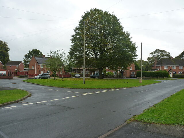
Image: © Richard Law Taken: 19 Oct 2021
A very similar area to Image, and which would quite likely have been intended as a play area at the time the houses were built.
Images are licensed for reuse under creativecommons.org/licenses/by-sa/2.0
Image Location


Leaflet Map data © OpenStreetMap
Latitude
52.672375
Longitude
-2.367752