IMAGES TAKEN NEAR TO
Anvil Close, NEWPORT, TF10 8PT
Introduction
This page details the photographs taken nearby to Anvil Close, TF10 8PT by members of the Geograph project.
The Geograph project started in 2005 with the aim of publishing, organising and preserving representative images for every square kilometre of Great Britain, Ireland and the Isle of Man.

There are currently over 7.5m images from over14,400 individuals and you can help contribute to the project by visiting https://www.geograph.org.uk
Image Map
Images are licensed for reuse under creativecommons.org/licenses/by-sa/2.0
Notes
- Clicking on the map will re-center to the selected point.
- The higher the marker number, the further away the image location is from the centre of the postcode.
Image Listing (12 Images Found)
Images are licensed for reuse under creativecommons.org/licenses/by-sa/2.0
Image
Details
Distance
1
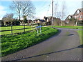
Along Plantation Road
Houses on the south side of Tibberton, fronting onto Plantation Road which leads out to Conquermoor Heath.
Image: © Richard Law
Taken: 10 Jan 2016
0.07 miles
2
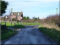
Hay Street joins Plantation Road
Two rural lanes come together on the south side of Tibberton.
Image: © Richard Law
Taken: 10 Jan 2016
0.09 miles
3
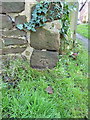
OS benchmark - Tibberton, gateway on the main road
An OS cutmark at the base of a gateway; originally levelled at 67.553m above Ordnance Datum Newlyn.
Image: © Richard Law
Taken: 10 Jan 2016
0.13 miles

5
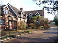
The Old School House
Little information is available online regarding this former schoolhouse (apart from the inevitable Estate Agent's details) - any updates are very welcome.
Image: © Richard Law
Taken: 10 Jan 2016
0.18 miles
6
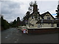
Sutherland Arms, Tibberton
The Sutherland Arms lies just off the B5062 and near the church at Tibberton.
Image: © Eirian Evans
Taken: 3 Apr 2010
0.20 miles
7

Tibberton Church
Dedicated to All Saints
Image: © Geoff Pick
Taken: 28 Aug 2006
0.20 miles
8

The road forks at Conquermoor Heath
The road forks into Back Lane and Plantation Road.
Image: © A Holmes
Taken: 29 Apr 2007
0.22 miles
9

Old Direction Sign - Signpost by Mill Lane junction, Tibberton
Annulus finial - 3 arms; Shropshire CC modern halo by the UC road, in parish of Tibberton and Cherrington (Telford and Wrekin District), Tibberton.
Surveyed
Milestone Society National ID: SA_SJ6820
Image: © Milestone Society
Taken: Unknown
0.22 miles