IMAGES TAKEN NEAR TO
East Lydford, SOMERTON, TA11 7HE
Introduction
This page details the photographs taken nearby to TA11 7HE by members of the Geograph project.
The Geograph project started in 2005 with the aim of publishing, organising and preserving representative images for every square kilometre of Great Britain, Ireland and the Isle of Man.

There are currently over 7.5m images from over14,400 individuals and you can help contribute to the project by visiting https://www.geograph.org.uk
Image Map (Loading...)


Getting Data...Please wait
Leaflet Map data © OpenStreetMap
Images are licensed for reuse under creativecommons.org/licenses/by-sa/2.0
Notes
- Clicking on the map will re-center to the selected point.
- The higher the marker number, the further away the image location is from the centre of the postcode.
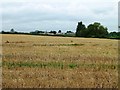
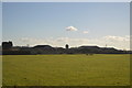
Image Listing (8 Images Found)
Images are licensed for reuse under creativecommons.org/licenses/by-sa/2.0
Image
Details
Distance
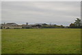
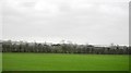
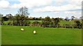
3
Rubbery Farm
View of Rubbery Farm across fields taken from Macmillan Way to the south
Image: © Damon Knight
Taken: 1 Sep 2007
0.04 miles
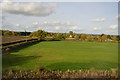
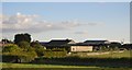
5
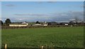
Buildings at Rubbery Farm
Barns and a hopper at the farm, whose buildings straddle a gridline; the farmhouse is off to the left in Image View from a train on the main line from Castle Cary to Taunton
Image: © Derek Harper
Taken: 19 Mar 2012
0.11 miles