IMAGES TAKEN NEAR TO
Edgerley, OSWESTRY, SY10 8EP
Introduction
This page details the photographs taken nearby to SY10 8EP by members of the Geograph project.
The Geograph project started in 2005 with the aim of publishing, organising and preserving representative images for every square kilometre of Great Britain, Ireland and the Isle of Man.

There are currently over 7.5m images from over14,400 individuals and you can help contribute to the project by visiting https://www.geograph.org.uk
Image Map
Images are licensed for reuse under creativecommons.org/licenses/by-sa/2.0
Notes
- Clicking on the map will re-center to the selected point.
- The higher the marker number, the further away the image location is from the centre of the postcode.
Image Listing (5 Images Found)
Images are licensed for reuse under creativecommons.org/licenses/by-sa/2.0
Image
Details
Distance
1
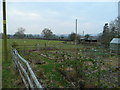
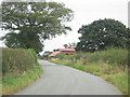
Gardens and pasture
View south of Edgerley on the Severn flood plain in western Shropshire.
Image: © Jonathan Billinger
Taken: 3 Jan 2008
0.09 miles
2
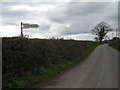
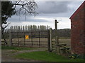
Not the way to Burnley FC
Burnley FC play at Turf Moor.
Image: © Row17
Taken: 9 Apr 2008
0.19 miles