IMAGES TAKEN NEAR TO
Stane Grove, LONDON, SW9 9AL
Introduction
This page details the photographs taken nearby to Stane Grove, SW9 9AL by members of the Geograph project.
The Geograph project started in 2005 with the aim of publishing, organising and preserving representative images for every square kilometre of Great Britain, Ireland and the Isle of Man.

There are currently over 7.5m images from over14,400 individuals and you can help contribute to the project by visiting https://www.geograph.org.uk
Image Map
Images are licensed for reuse under creativecommons.org/licenses/by-sa/2.0
Notes
- Clicking on the map will re-center to the selected point.
- The higher the marker number, the further away the image location is from the centre of the postcode.
Image Listing (127 Images Found)
Images are licensed for reuse under creativecommons.org/licenses/by-sa/2.0
Image
Details
Distance
3

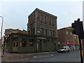
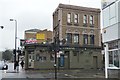
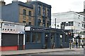
The Phoenix, Clapham Road
Formerly The Circle Bar, now refurbished.
Image: © Richard Rogerson
Taken: 22 Nov 2015
0.05 miles
4

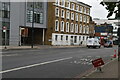
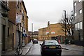
Block of flats, corner of Mayflower Road and Clapham Road
Image: © David Smith
Taken: 17 Nov 2016
0.05 miles
10
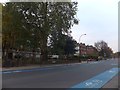
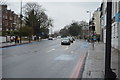
Houses and flats in Clapham Road
The flats are set back from this (normally) busy road behind the trees on the left. The road is marked with a cycle path
Image: © David Smith
Taken: 28 Nov 2013
0.06 miles