
IMAGES TAKEN NEAR TO
Queens Road, LONDON, SW19 8NP
Introduction
This page details the photographs taken nearby to Queens Road, SW19 8NP by members of the Geograph project.
The Geograph project started in 2005 with the aim of publishing, organising and preserving representative images for every square kilometre of Great Britain, Ireland and the Isle of Man.

There are currently over 7.5m images from over14,400 individuals and you can help contribute to the project by visiting https://www.geograph.org.uk
Image Map
Images are licensed for reuse under creativecommons.org/licenses/by-sa/2.0
Notes
- Clicking on the map will re-center to the selected point.
- The higher the marker number, the further away the image location is from the centre of the postcode.
Image Listing (186 Images Found)
Images are licensed for reuse under creativecommons.org/licenses/by-sa/2.0
Image
Details
Distance
1
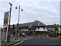
Everyday Church, Wimbledon
On the junction of Queen's Road and an access road (on the left) into Centre Court Shopping Centre.
Image: © David Anstiss
Taken: 13 Jan 2013
0.06 miles
2
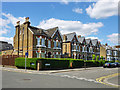
Houses on King's Road
Three substantial villas with an attic storey, possibly for the servant(s) when built.
Image: © Robin Webster
Taken: 12 May 2012
0.06 miles
3

Princes Road, Wimbledon
Part of South Park Gardens Conservation Area, running from Queens Road (now with no vehicle access) and intersecting Kings Road, yet Princesses seem to have lost out here, with no road for them.
Image: © Robin Webster
Taken: 12 May 2012
0.06 miles
4
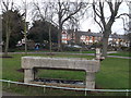
Drinking Fountain, South Park Gardens, Wimbledon
This Grade II listed granite stone former horse trough, was once a drinking fountain, before being used as a flower planter.
See http://www.britishlistedbuildings.co.uk/en-430988-horse-trough-drinking-fountain-within-so for more details about the trough.
Image: © David Anstiss
Taken: 13 Jan 2013
0.07 miles
5
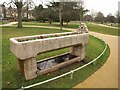
Drinking fountain, South Park Gardens
According to a noticeboard nearby, the "drinking fountain and cattle trough" was presented to the council as part of the Ellen Reardon bequest in 1898, but http://www.merton.gov.uk/living/planning/designandconservation/conservation_areas/sth_pk_gdns_ca_part_1-2.pdf gives a date of 1888.
Image: © Derek Harper
Taken: 7 Feb 2010
0.07 miles
8
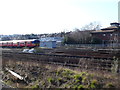
Railway Tracks at Wimbledon Station
The building on the left hand side is the County Court Building which is right in the north eastern corner of the grid square. The train o the left is just coming out of Wimbledon station and is actually in TQ2470.
Image: © Nigel Mykura
Taken: 5 Mar 2013
0.09 miles
9
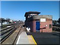
Wimbledon A signal box
Now disused, this signal box is at the London end of Platforms 7 and 8.
Image: © David Martin
Taken: 26 Mar 2012
0.10 miles
10
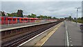
WImbledon station - view east from platform 7
Image: © Peter Whatley
Taken: 27 Jul 2023
0.10 miles