IMAGES TAKEN NEAR TO
Godley Road, LONDON, SW18 3HB
Introduction
This page details the photographs taken nearby to Godley Road, SW18 3HB by members of the Geograph project.
The Geograph project started in 2005 with the aim of publishing, organising and preserving representative images for every square kilometre of Great Britain, Ireland and the Isle of Man.

There are currently over 7.5m images from over14,400 individuals and you can help contribute to the project by visiting https://www.geograph.org.uk
Image Map
Images are licensed for reuse under creativecommons.org/licenses/by-sa/2.0
Notes
- Clicking on the map will re-center to the selected point.
- The higher the marker number, the further away the image location is from the centre of the postcode.
Image Listing (31 Images Found)
Images are licensed for reuse under creativecommons.org/licenses/by-sa/2.0
Image
Details
Distance
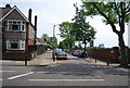
2
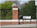
Junction of Fieldview and Magdalen Road
Looking uphill at the junction!
Image: © Chris Cox
Taken: 1 Apr 2008
0.11 miles
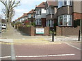
4
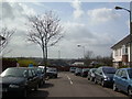
The Allotments
Next to Beatrix Potter Primary School.
Image: © Chris Cox
Taken: 1 Apr 2008
0.11 miles
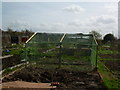
5
Looking at the allotments near Beatrix Potter school
Image: © Chris Cox
Taken: 1 Apr 2008
0.12 miles
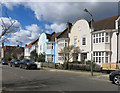
6
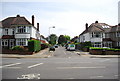
Earlsfield cemetery
Taken from the entrance to Beatrix Potter school. The cemetery is behind the bushes and the railings.
Image: © Chris Cox
Taken: 1 Apr 2008
0.12 miles
9
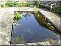
The Pond
The pond, next to "The House", at Beatrix Potter Primary School.
Image: © Chris Cox
Taken: 1 Apr 2008
0.13 miles
