
IMAGES TAKEN NEAR TO
Campion Road, LONDON, SW15 6NW
Introduction
This page details the photographs taken nearby to Campion Road, SW15 6NW by members of the Geograph project.
The Geograph project started in 2005 with the aim of publishing, organising and preserving representative images for every square kilometre of Great Britain, Ireland and the Isle of Man.

There are currently over 7.5m images from over14,400 individuals and you can help contribute to the project by visiting https://www.geograph.org.uk
Image Map
Images are licensed for reuse under creativecommons.org/licenses/by-sa/2.0
Notes
- Clicking on the map will re-center to the selected point.
- The higher the marker number, the further away the image location is from the centre of the postcode.
Image Listing (24 Images Found)
Images are licensed for reuse under creativecommons.org/licenses/by-sa/2.0
Image
Details
Distance
1
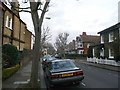
Howard's Lane, Putney
This road leads from Woodborough Road to Gwendolen Avenue.
In the background is the junction with Coalecroft Road.
Image: © David Anstiss
Taken: 30 Dec 2012
0.09 miles
2
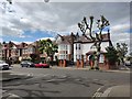
Hazelwell Road
Pollarded London Plain trees.
Image: © James Emmans
Taken: 13 May 2020
0.11 miles
3
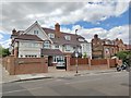
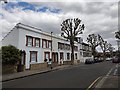
Malbrook Road - Putney
New block of flats designed to fit well with the surrounding large Victorian properties.
Image: © James Emmans
Taken: 13 May 2020
0.13 miles
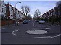
5
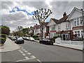
Howards Avenue
Urban street trees pollarded to keep them managed.
Image: © James Emmans
Taken: 13 May 2020
0.13 miles
7
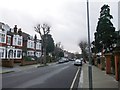
Hazlewell Road, Putney
This long road of houses leads from Gwendolen Avenue to Luttrell Avenue.
In the background a car heads out of Genoa Avenue.
Image: © David Anstiss
Taken: 30 Dec 2012
0.14 miles
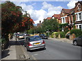
9
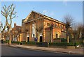
St Simon's church, Putney
In full the dedication is to "Our Lady of Pity & St Simon Stock". The Roman Catholic church is in West Putney, at the junction of St Simon's Avenue (right) and Hazlewell Road (foreground). It dates from 1906, with chancel added in 1935. To the left is the presbytery, dated 1911.
Image: © Derek Harper
Taken: 14 Apr 2010
0.20 miles
10
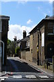
Parkfields, Putney
Junction with Upper Richmond Road. Narrow street, and some Victorian houses.
Image: © Peter Trimming
Taken: 17 May 2009
0.20 miles