IMAGES TAKEN NEAR TO
Boon Hill Road, STOKE-ON-TRENT, ST7 8LA
Introduction
This page details the photographs taken nearby to Boon Hill Road, ST7 8LA by members of the Geograph project.
The Geograph project started in 2005 with the aim of publishing, organising and preserving representative images for every square kilometre of Great Britain, Ireland and the Isle of Man.

There are currently over 7.5m images from over14,400 individuals and you can help contribute to the project by visiting https://www.geograph.org.uk
Image Map
Images are licensed for reuse under creativecommons.org/licenses/by-sa/2.0
Notes
- Clicking on the map will re-center to the selected point.
- The higher the marker number, the further away the image location is from the centre of the postcode.
Image Listing (57 Images Found)
Images are licensed for reuse under creativecommons.org/licenses/by-sa/2.0
Image
Details
Distance
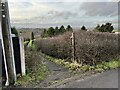
1
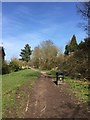
Bignall End: path along former railway trackbed
Image: © Jonathan Hutchins
Taken: 6 Apr 2015
0.04 miles
2
Bignall End: path along former railway trackbed
Image: © Jonathan Hutchins
Taken: 6 Apr 2015
0.06 miles
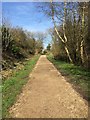
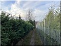
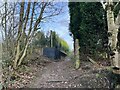
3
Footpath along former railway trackbed in Bignall End
Looking south. The line was closed to all traffic in 1963 and the track taken up in 1966. Immediately behind the photographer is a steep grassy embankment down to a roundabout. The line was taken over the road by a bridge, on the other side of which was the former Audley Station.
Image: © Jonathan Hutchins
Taken: 16 Nov 2014
0.06 miles
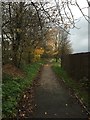
4
Public footpath off Boon Hill Road
Image: © Jonathan Hutchins
Taken: 30 Dec 2022
0.08 miles
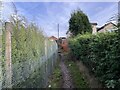
5
Public footpath off Boon Hill Road
Image: © Jonathan Hutchins
Taken: 30 Dec 2022
0.08 miles
7
Public footpath off Boon Hill Road
Image: © Jonathan Hutchins
Taken: 30 Dec 2022
0.09 miles
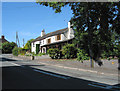
8
View from Ravens Lane up Boon Hill
Image: © Deb Forster-Sharples
Taken: Unknown
0.10 miles
9
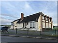
Bignall End Miners Welfare Institute
Image: © Jonathan Hutchins
Taken: 30 Dec 2022
0.10 miles
10
Public footpath near Bignall End
Image: © Jonathan Hutchins
Taken: 30 Dec 2022
0.10 miles