Footpath along former railway trackbed in Bignall End
Introduction
The photograph on this page of Footpath along former railway trackbed in Bignall End by Jonathan Hutchins as part of the Geograph project.
The Geograph project started in 2005 with the aim of publishing, organising and preserving representative images for every square kilometre of Great Britain, Ireland and the Isle of Man.

There are currently over 7.5m images from over 14,400 individuals and you can help contribute to the project by visiting https://www.geograph.org.uk
Footpath along former railway trackbed in Bignall End
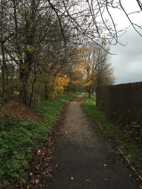
Image: © Jonathan Hutchins Taken: 16 Nov 2014
Looking south. The line was closed to all traffic in 1963 and the track taken up in 1966. Immediately behind the photographer is a steep grassy embankment down to a roundabout. The line was taken over the road by a bridge, on the other side of which was the former Audley Station.
Images are licensed for reuse under creativecommons.org/licenses/by-sa/2.0
Image Location
Latitude
53.054203
Longitude
-2.285212