
IMAGES TAKEN NEAR TO
Mendip Avenue, STAFFORD, ST17 0PF
Introduction
This page details the photographs taken nearby to Mendip Avenue, ST17 0PF by members of the Geograph project.
The Geograph project started in 2005 with the aim of publishing, organising and preserving representative images for every square kilometre of Great Britain, Ireland and the Isle of Man.

There are currently over 7.5m images from over14,400 individuals and you can help contribute to the project by visiting https://www.geograph.org.uk
Image Map
Images are licensed for reuse under creativecommons.org/licenses/by-sa/2.0
Notes
- Clicking on the map will re-center to the selected point.
- The higher the marker number, the further away the image location is from the centre of the postcode.
Image Listing (7 Images Found)
Images are licensed for reuse under creativecommons.org/licenses/by-sa/2.0
Image
Details
Distance
1
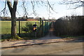
Footpath across the playing fields
The path goes from Victoria Way to Old Croft Road. The playing fields are attached to Walton High School.
Image: © Bill Boaden
Taken: 11 Feb 2012
0.15 miles
2
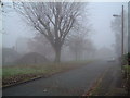
Island Green Christmas morning 2005
A dull foggy Christmas morning in Stafford taken at 10:40
Image: © David Bagshaw
Taken: 25 Dec 2005
0.15 miles
3
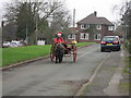
Christmas 2006
Santa came trotting by
Image: © David Bagshaw
Taken: 25 Dec 2006
0.15 miles
4
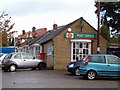
Post office
Post office on the corner of Bridle Road & Cannock Road
Image: © David Bagshaw
Taken: 24 Nov 2005
0.22 miles
5
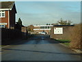
Walton High School
Walton School Old Croft Road
Image: © David Bagshaw
Taken: 28 Nov 2005
0.22 miles
6
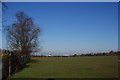
Playing fields by Victoria Way
These fields are owned by the local authority. They are not supposed to be accessible unless booked in advance, but there are enough holes in the fence to render this requirement unenforceable.
Image: © Bill Boaden
Taken: 11 Feb 2012
0.23 miles
7

Santa's Grotto
Sorry a bit fuzzy, but I hope it falls into the spirit of Christmas Day submissions!
Image: © David Bagshaw
Taken: 25 Dec 2005
0.24 miles