Playing fields by Victoria Way
Introduction
The photograph on this page of Playing fields by Victoria Way by Bill Boaden as part of the Geograph project.
The Geograph project started in 2005 with the aim of publishing, organising and preserving representative images for every square kilometre of Great Britain, Ireland and the Isle of Man.

There are currently over 7.5m images from over 14,400 individuals and you can help contribute to the project by visiting https://www.geograph.org.uk
Playing fields by Victoria Way
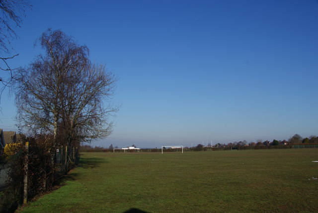
Image: © Bill Boaden Taken: 11 Feb 2012
These fields are owned by the local authority. They are not supposed to be accessible unless booked in advance, but there are enough holes in the fence to render this requirement unenforceable.
Images are licensed for reuse under creativecommons.org/licenses/by-sa/2.0
Image Location
Latitude
52.781788
Longitude
-2.072307