IMAGES TAKEN NEAR TO
Lister Road, STAFFORD, ST16 3NB
Introduction
This page details the photographs taken nearby to Lister Road, ST16 3NB by members of the Geograph project.
The Geograph project started in 2005 with the aim of publishing, organising and preserving representative images for every square kilometre of Great Britain, Ireland and the Isle of Man.

There are currently over 7.5m images from over14,400 individuals and you can help contribute to the project by visiting https://www.geograph.org.uk
Image Map
Images are licensed for reuse under creativecommons.org/licenses/by-sa/2.0
Notes
- Clicking on the map will re-center to the selected point.
- The higher the marker number, the further away the image location is from the centre of the postcode.
Image Listing (16 Images Found)
Images are licensed for reuse under creativecommons.org/licenses/by-sa/2.0
Image
Details
Distance
4

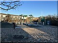
Gates to Coton Fields Allotments
This is the north-western end of the track, giving onto Prospect Road. The track is accessible to gardeners' vehicles but users are urged to CLOSE LOCK AND SCRAMBLE [i.e. the lock combination] in order to deter trespass and vandalism. On the left is the pedestrian entrance. The track is a public footpath designated Stafford 7 and is part of the Two Saints Way.
Image: © Jonathan Hutchins
Taken: 11 Nov 2022
0.15 miles
5
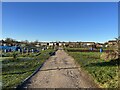
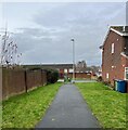
Middle Walk, Coton Fields Allotments
Looking north-west towards Prospect Road. This is a public right of way and also on the route of the Two Saints Way long-distance footpath.
Image: © Jonathan Hutchins
Taken: 15 Dec 2022
0.15 miles
6
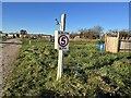
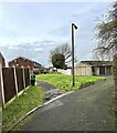
Speed limit and water tap on the allotments
At various points along the central walkway, there are water outlets. These are intended for gardeners to fill up containers on their plots, which can then be used for hand watering: the taps are not supposed to be used for direct watering.
The central track (Middle Walk) is a public right of way, and part of the Two Saints Way.
Image: © Jonathan Hutchins
Taken: 15 Dec 2022
0.15 miles
7
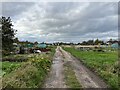
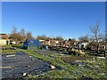
Coton Fields Allotments
Looking north-west along Middle Walk. Prospect Road is at the far end. The track is a public footpath designated Stafford 7 and is part of the Two Saints Way.
Image: © Jonathan Hutchins
Taken: 11 Nov 2022
0.16 miles
8
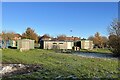
Community buildings, Coton Fields Allotments
The Trustees have erected some buildings at the centre of the site for the benefit of the tenants:
A central community building for meetings & social events, including toilet facilities.
An allotments store, for gardening related items.
Image: © Jonathan Hutchins
Taken: 15 Dec 2022
0.18 miles
9
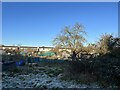
Coton Fields Allotments
Viewed here from lane along back of houses on Corporation Street.
Image: © Jonathan Hutchins
Taken: 15 Dec 2022
0.19 miles