Middle Walk, Coton Fields Allotments
Introduction
The photograph on this page of Middle Walk, Coton Fields Allotments by Jonathan Hutchins as part of the Geograph project.
The Geograph project started in 2005 with the aim of publishing, organising and preserving representative images for every square kilometre of Great Britain, Ireland and the Isle of Man.

There are currently over 7.5m images from over 14,400 individuals and you can help contribute to the project by visiting https://www.geograph.org.uk
Middle Walk, Coton Fields Allotments
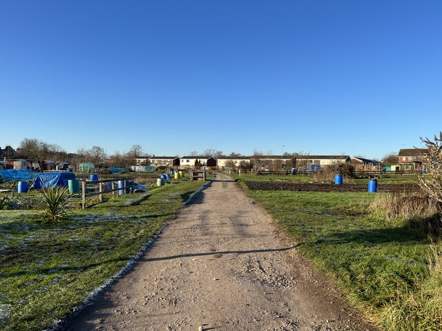
Image: © Jonathan Hutchins Taken: 15 Dec 2022
Looking north-west towards Prospect Road. This is a public right of way and also on the route of the Two Saints Way long-distance footpath.
Images are licensed for reuse under creativecommons.org/licenses/by-sa/2.0
Image Location
Latitude
52.812953
Longitude
-2.109895