
IMAGES TAKEN NEAR TO
Second Avenue, CANVEY ISLAND, SS8 9LW
Introduction
This page details the photographs taken nearby to Second Avenue, SS8 9LW by members of the Geograph project.
The Geograph project started in 2005 with the aim of publishing, organising and preserving representative images for every square kilometre of Great Britain, Ireland and the Isle of Man.

There are currently over 7.5m images from over14,400 individuals and you can help contribute to the project by visiting https://www.geograph.org.uk
Image Map
Images are licensed for reuse under creativecommons.org/licenses/by-sa/2.0
Notes
- Clicking on the map will re-center to the selected point.
- The higher the marker number, the further away the image location is from the centre of the postcode.
Image Listing (11 Images Found)
Images are licensed for reuse under creativecommons.org/licenses/by-sa/2.0
Image
Details
Distance
1
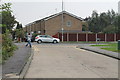
First avenue towards Link Road, Canvey Island
Image: © J.Hannan-Briggs
Taken: 4 Sep 2014
0.10 miles
2
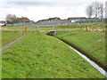
Drain, Canvey Island
One of several drains threading through and around the housing development on the island.
Image: © Robin Webster
Taken: 21 Feb 2015
0.16 miles
3
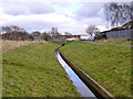
Drain, Canvey Island
One of several drains threading through the housing development on the island.
Image: © Robin Webster
Taken: 21 Feb 2015
0.19 miles
4
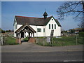
Canvey Island Heritage Centre
Once a Church.
Image: © Ron Galliers
Taken: 20 Mar 2009
0.20 miles
5
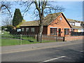
Stibbard's Chapel of Rest on Long Road
Image: © Ron Galliers
Taken: 20 Mar 2009
0.21 miles
6
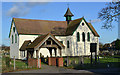
Heritage Centre, formerly St Katherine's church, Canvey Island, Essex
Image: © Peter Stack
Taken: 2 Jan 2012
0.22 miles
7
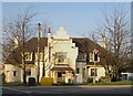
Canvey Island: The King Canute
The pub was built as "The Red Cow", replacing an earlier wooden building near the roadside, but was renamed as "The King Canute" after its slightly elevated position in the old hamlet of Canvey made it the ideal location as a headquarters building for the rescue forces immediately after the catastrophic flood of 1953.
Image: © Nigel Cox
Taken: 8 Mar 2011
0.22 miles
8
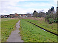
Drain, Canvey Island
One of several drains threading through and around the housing development on the island. The path is a public footpath.
Image: © Robin Webster
Taken: 21 Feb 2015
0.24 miles
9
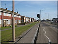
Long Road Canvey
The western end, looking east
Image: © Ron Galliers
Taken: 20 Mar 2009
0.24 miles
10
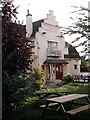
The King Canute, Canvey Island
Formerly the Red Cow, renamed post-flood as it stands on about the highest point on Canvey.
Image: © John Myers
Taken: 24 Sep 2006
0.25 miles