Canvey Island: The King Canute
Introduction
The photograph on this page of Canvey Island: The King Canute by Nigel Cox as part of the Geograph project.
The Geograph project started in 2005 with the aim of publishing, organising and preserving representative images for every square kilometre of Great Britain, Ireland and the Isle of Man.

There are currently over 7.5m images from over 14,400 individuals and you can help contribute to the project by visiting https://www.geograph.org.uk
Canvey Island: The King Canute
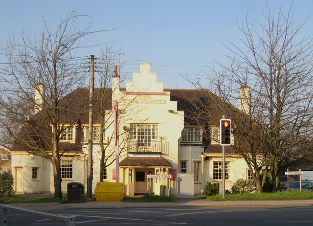
Image: © Nigel Cox Taken: 8 Mar 2011
The pub was built as "The Red Cow", replacing an earlier wooden building near the roadside, but was renamed as "The King Canute" after its slightly elevated position in the old hamlet of Canvey made it the ideal location as a headquarters building for the rescue forces immediately after the catastrophic flood of 1953.
Images are licensed for reuse under creativecommons.org/licenses/by-sa/2.0
Image Location
Latitude
51.520023
Longitude
0.564508