
IMAGES TAKEN NEAR TO
Handel Road, CANVEY ISLAND, SS8 7HL
Introduction
This page details the photographs taken nearby to Handel Road, SS8 7HL by members of the Geograph project.
The Geograph project started in 2005 with the aim of publishing, organising and preserving representative images for every square kilometre of Great Britain, Ireland and the Isle of Man.

There are currently over 7.5m images from over14,400 individuals and you can help contribute to the project by visiting https://www.geograph.org.uk
Image Map
Images are licensed for reuse under creativecommons.org/licenses/by-sa/2.0
Notes
- Clicking on the map will re-center to the selected point.
- The higher the marker number, the further away the image location is from the centre of the postcode.
Image Listing (23 Images Found)
Images are licensed for reuse under creativecommons.org/licenses/by-sa/2.0
Image
Details
Distance
1
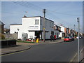
Fortuna Stores Maurice Road
A typical 'corner shop'.
Image: © Ron Galliers
Taken: 17 Mar 2009
0.10 miles
3
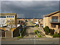
Hellendoorn Road, Canvey Island
Just about every direction you looked, the weather was doing something dramatic, but miraculously Canvey Island escaped.
Image: © Robin Webster
Taken: 21 Feb 2015
0.14 miles
7
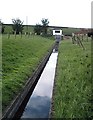
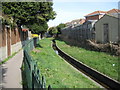
May Avenue, Canvey Island - Drain and pumping station
Concrete lined drain by the side of May Avenue. The pumping station is the white building beneath the sea wall.
Image: © John Myers
Taken: 24 Sep 2006
0.18 miles
8
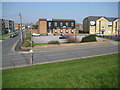
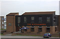
Canvey Island: The Windjammer
Maybe it's the font, maybe it's the colour, but for some reason reading The Windjammer sign on the building brought back memories of Watney's Red Barrel...! Incidentally the sign on the building on the left advertises the delights of the pub's "Tudor Upper Bar Deck".
Comparing this with Ron's Image shows that the residential block on the right has been built since 2009, and this is the same block visible in Image
The road in front is the Eastern Esplanade and the one to the left is May Avenue. Looking at old Ordnance Survey maps showing the first residential development of the area May Avenue appears to have named Rosewinkle Avenue at the start of its life, while a putting green used to occupy the plot where the new housing block to the right is.
Image: © Nigel Cox
Taken: 8 Mar 2011
0.19 miles
10
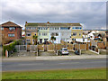
High houses, Canvey Island
You really need three storeys to get a decent view over the sea wall.
Image: © Robin Webster
Taken: 21 Feb 2015
0.19 miles