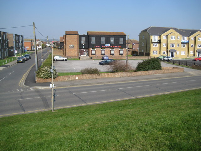
Canvey Island: The Windjammer
Introduction
The photograph on this page of Canvey Island: The Windjammer by Nigel Cox as part of the Geograph project.
The Geograph project started in 2005 with the aim of publishing, organising and preserving representative images for every square kilometre of Great Britain, Ireland and the Isle of Man.
There are currently over 7.5m images from over 14,400 individuals and you can help contribute to the project by visiting https://www.geograph.org.uk

Image: © Nigel Cox Taken: 8 Mar 2011
Maybe it's the font, maybe it's the colour, but for some reason reading The Windjammer sign on the building brought back memories of Watney's Red Barrel...! Incidentally the sign on the building on the left advertises the delights of the pub's "Tudor Upper Bar Deck". Comparing this with Ron's Image shows that the residential block on the right has been built since 2009, and this is the same block visible in Image The road in front is the Eastern Esplanade and the one to the left is May Avenue. Looking at old Ordnance Survey maps showing the first residential development of the area May Avenue appears to have named Rosewinkle Avenue at the start of its life, while a putting green used to occupy the plot where the new housing block to the right is.

