
IMAGES TAKEN NEAR TO
The Larches, BENFLEET, SS7 4NR
Introduction
This page details the photographs taken nearby to The Larches, SS7 4NR by members of the Geograph project.
The Geograph project started in 2005 with the aim of publishing, organising and preserving representative images for every square kilometre of Great Britain, Ireland and the Isle of Man.

There are currently over 7.5m images from over14,400 individuals and you can help contribute to the project by visiting https://www.geograph.org.uk
Image Map
Images are licensed for reuse under creativecommons.org/licenses/by-sa/2.0
Notes
- Clicking on the map will re-center to the selected point.
- The higher the marker number, the further away the image location is from the centre of the postcode.
Image Listing (15 Images Found)
Images are licensed for reuse under creativecommons.org/licenses/by-sa/2.0
Image
Details
Distance
3
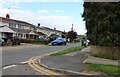
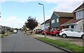
Access to houses on Rushbottom Lane, Thundersley
Image: © David Howard
Taken: 25 May 2021
0.10 miles
9
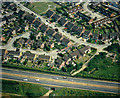
North-western extremity of New Thundersley
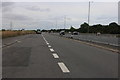
The road across the bottom is the A130, from Canvey Island to the roundabout on the A127 trunk road. Above this road is the top left-hand corner of New Thundersley. The tunnel below the road leads from the built-up area into the more rural areas of Bowers Gifford.
Image: © Edward Clack
Taken: 13 Jun 1988
0.16 miles
10
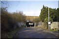
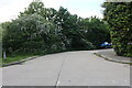
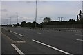
Subway on Rushbottom Lane
This is the beginning of a byway open to all traffic that goes as far as Harrow Road
Image: © Glyn Baker
Taken: 17 Feb 2013
0.18 miles