
IMAGES TAKEN NEAR TO
Herongate, SOUTHEND-ON-SEA, SS3 9SJ
Introduction
This page details the photographs taken nearby to Herongate, SS3 9SJ by members of the Geograph project.
The Geograph project started in 2005 with the aim of publishing, organising and preserving representative images for every square kilometre of Great Britain, Ireland and the Isle of Man.

There are currently over 7.5m images from over14,400 individuals and you can help contribute to the project by visiting https://www.geograph.org.uk
Image Map
Images are licensed for reuse under creativecommons.org/licenses/by-sa/2.0
Notes
- Clicking on the map will re-center to the selected point.
- The higher the marker number, the further away the image location is from the centre of the postcode.
Image Listing (11 Images Found)
Images are licensed for reuse under creativecommons.org/licenses/by-sa/2.0
Image
Details
Distance
1
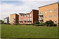
Rear of dwellings in Military Close, Shoeburyness
The grassy expanse in the foreground is the northern boundary of Shoebury Park.
Image: © David Kemp
Taken: 6 May 2016
0.11 miles
2
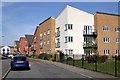
Artillery Avenue, Shoeburyness
This road is on the Bovishomes' Parkland development which dates from around 2011. The edge of Shoebury Park can be seen in the right-hand corner and the dwellings on the far right are in Military Close.
Image: © David Kemp
Taken: 6 May 2016
0.14 miles
3
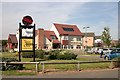
'The Meadowlark', Shoeburyness
This is the Artillery Avenue frontage.
Image: © David Kemp
Taken: 6 May 2016
0.18 miles
4
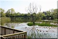
Shoebury Park Lake
A former pit from which brickearth would have been most likely extracted.
Image: © David Kemp
Taken: 6 May 2016
0.18 miles
5
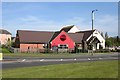
'The Meadowlark', Shoeburyness
This is the North Shoebury Road frontage.
Image: © David Kemp
Taken: 6 May 2016
0.18 miles
7
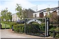
Shoebury Park, Elm Road entrance
The other entrance is in North Shoebury Road. The houses on the right are in Anson Chase.
Image: © David Kemp
Taken: 6 May 2016
0.21 miles
8
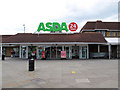
Shop till you drop
The 24 hour Asda at Shoeburyness.
Image: © william
Taken: 12 Sep 2010
0.21 miles
9
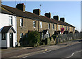
Bridge Cottages, North Shoebury
These cottages situated at right-angles to the railway are one of the few remaining reminders of how North Shoebury looked before becoming intensively developed from the 1980s onwards. I'm uncertain as to whether they were built for employees at the nearby Shoeburyness locomotive depot or for brickfield or farmworkers.
Image: © David Kemp
Taken: 22 Feb 2018
0.23 miles
10
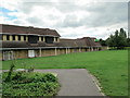
The rear of Asda supermarket
The ugly rear of the supermarket at Shoeburyness faces an ancient church.
Image: © william
Taken: 12 Sep 2010
0.25 miles