Artillery Avenue, Shoeburyness
Introduction
The photograph on this page of Artillery Avenue, Shoeburyness by David Kemp as part of the Geograph project.
The Geograph project started in 2005 with the aim of publishing, organising and preserving representative images for every square kilometre of Great Britain, Ireland and the Isle of Man.

There are currently over 7.5m images from over 14,400 individuals and you can help contribute to the project by visiting https://www.geograph.org.uk
Artillery Avenue, Shoeburyness
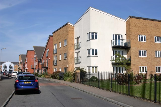
Image: © David Kemp Taken: 6 May 2016
This road is on the Bovishomes' Parkland development which dates from around 2011. The edge of Shoebury Park can be seen in the right-hand corner and the dwellings on the far right are in Military Close.
Images are licensed for reuse under creativecommons.org/licenses/by-sa/2.0
Image Location
Latitude
51.537653
Longitude
0.78139