
IMAGES TAKEN NEAR TO
Plymtree, SOUTHEND-ON-SEA, SS1 3RA
Introduction
This page details the photographs taken nearby to Plymtree, SS1 3RA by members of the Geograph project.
The Geograph project started in 2005 with the aim of publishing, organising and preserving representative images for every square kilometre of Great Britain, Ireland and the Isle of Man.

There are currently over 7.5m images from over14,400 individuals and you can help contribute to the project by visiting https://www.geograph.org.uk
Image Map
Images are licensed for reuse under creativecommons.org/licenses/by-sa/2.0
Notes
- Clicking on the map will re-center to the selected point.
- The higher the marker number, the further away the image location is from the centre of the postcode.
Image Listing (25 Images Found)
Images are licensed for reuse under creativecommons.org/licenses/by-sa/2.0
Image
Details
Distance
1
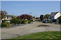
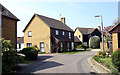
North-east end of Plymtree, Thorpe Bay
This is where Plymtree once more becomes a single carriageway.
Image: © David Kemp
Taken: 15 Apr 2019
0.03 miles
2
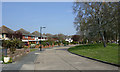
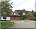
Plymtree, Thorpe Bay
This shows the part of Plymtree where it forms a dual carriageway divided by an expanse of grass and trees.
Image: © David Kemp
Taken: 15 Apr 2019
0.04 miles
3
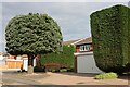
Topiary on Shoebury Road, Bournes Green
Image: © David Howard
Taken: 25 May 2021
0.09 miles
7
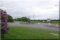
Bournes Green Chase
The A13 marks the Northern limit of development in the municipality of Southend-on-Sea. However the board on the other side of the road is offering 225 acres of land for sale (for Leisure use)
Image: © Glyn Baker
Taken: 17 May 2013
0.14 miles
9
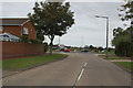
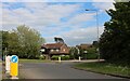
Maplin Way North
Looking north towards the roundabout at the junction with Bournes Green Chase.
Image: © Trevor Harris
Taken: 12 Oct 2014
0.14 miles
10
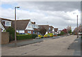
Cherrybrook, Thorpe Bay
This is the west side of Cherrybrook taken from near its junction with Burlescoombe Road
Image: © David Kemp
Taken: 18 Apr 2014
0.14 miles