Bournes Green Chase
Introduction
The photograph on this page of Bournes Green Chase by Glyn Baker as part of the Geograph project.
The Geograph project started in 2005 with the aim of publishing, organising and preserving representative images for every square kilometre of Great Britain, Ireland and the Isle of Man.

There are currently over 7.5m images from over 14,400 individuals and you can help contribute to the project by visiting https://www.geograph.org.uk
Bournes Green Chase
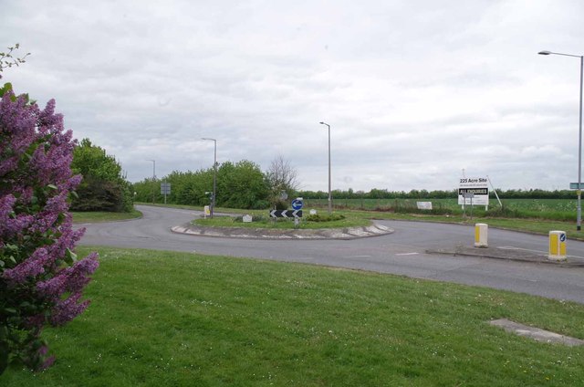
Image: © Glyn Baker Taken: 17 May 2013
The A13 marks the Northern limit of development in the municipality of Southend-on-Sea. However the board on the other side of the road is offering 225 acres of land for sale (for Leisure use)
Images are licensed for reuse under creativecommons.org/licenses/by-sa/2.0
Image Location
Latitude
51.544074
Longitude
0.772262