
IMAGES TAKEN NEAR TO
Northbourne Road, SWINDON, SN25 4YE
Introduction
This page details the photographs taken nearby to Northbourne Road, SN25 4YE by members of the Geograph project.
The Geograph project started in 2005 with the aim of publishing, organising and preserving representative images for every square kilometre of Great Britain, Ireland and the Isle of Man.

There are currently over 7.5m images from over14,400 individuals and you can help contribute to the project by visiting https://www.geograph.org.uk
Image Map
Images are licensed for reuse under creativecommons.org/licenses/by-sa/2.0
Notes
- Clicking on the map will re-center to the selected point.
- The higher the marker number, the further away the image location is from the centre of the postcode.
Image Listing (8 Images Found)
Images are licensed for reuse under creativecommons.org/licenses/by-sa/2.0
Image
Details
Distance
1
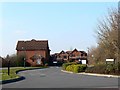
Thornhill Drive, St Andrew's Ridge, Swindon
This is a typical view within the Northern Expansion Area of Swindon, a development started in the 1990s to cater for housing demand from the local area and beyond. The development is continuing and will be for some time to come. Housing and estate design has improved in recent years, in my opinion at least.
Image: © Brian Robert Marshall
Taken: 16 Feb 2008
0.13 miles
3
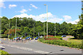
Elstree Way
Road junction in Swindon.
Image: © Wayland Smith
Taken: 13 Jun 2020
0.16 miles
4
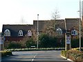
Pennine Way, St Andrew's Ridge, Swindon
Pennine Way meanders through the St Andrew's Ridge part of the Northern Expansion Area with smaller roads leading from it. It is all very artfully laid out with a minimum of straight lines. Here we can see a modern terrace of houses deliberately designed to have different roof heights.
Image: © Brian Robert Marshall
Taken: 16 Feb 2008
0.18 miles
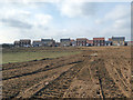
6
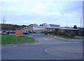
Abbey Meads primary school
Catering for the recent influx of young families, to northern Swindon.
Image: © Roger Cornfoot
Taken: 15 Jan 2007
0.23 miles

8
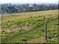
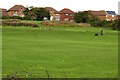
A view south-west from St Andrew's Ridge, Swindon
The area north of the established areas of Penhill and Haydon Wick and south of the village of Blunsdon is known generically as the Northern Expansion Area. It has been under development for several years from the early 1990s. Within the NEA are individual sub-areas with names such as St Andrew's Ridge, Redhouse and Priory Vale. I suspect they are mostly marketing-inspired though with a nod to existing names and features. Sadly, I can't remember many of them. In this view we can see the open space between St Andrew's Ridge behind the viewpoint and, I think, Redhouse, outside this square. The marker at the right indicates the presence of a bridleway.
Image: © Brian Robert Marshall
Taken: 16 Feb 2008
0.24 miles