Pennine Way, St Andrew's Ridge, Swindon
Introduction
The photograph on this page of Pennine Way, St Andrew's Ridge, Swindon by Brian Robert Marshall as part of the Geograph project.
The Geograph project started in 2005 with the aim of publishing, organising and preserving representative images for every square kilometre of Great Britain, Ireland and the Isle of Man.

There are currently over 7.5m images from over 14,400 individuals and you can help contribute to the project by visiting https://www.geograph.org.uk
Pennine Way, St Andrew's Ridge, Swindon
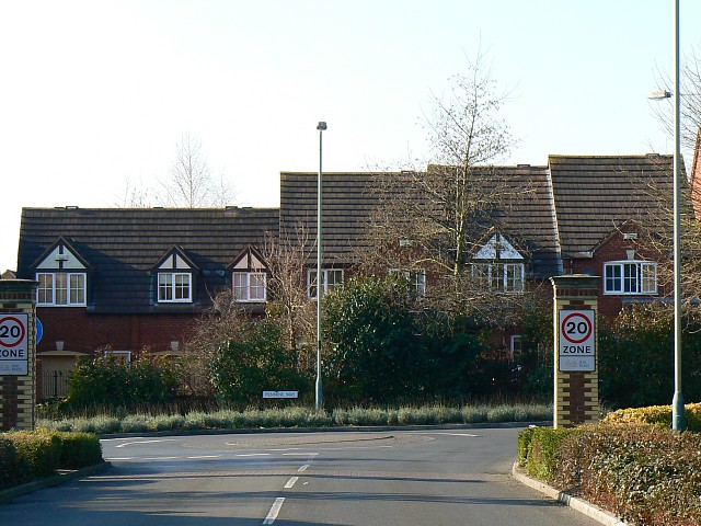
Image: © Brian Robert Marshall Taken: 16 Feb 2008
Pennine Way meanders through the St Andrew's Ridge part of the Northern Expansion Area with smaller roads leading from it. It is all very artfully laid out with a minimum of straight lines. Here we can see a modern terrace of houses deliberately designed to have different roof heights.
Images are licensed for reuse under creativecommons.org/licenses/by-sa/2.0
Image Location
Latitude
51.601827
Longitude
-1.797959