
IMAGES TAKEN NEAR TO
Tenzing Gardens, SWINDON, SN25 3AH
Introduction
This page details the photographs taken nearby to Tenzing Gardens, SN25 3AH by members of the Geograph project.
The Geograph project started in 2005 with the aim of publishing, organising and preserving representative images for every square kilometre of Great Britain, Ireland and the Isle of Man.

There are currently over 7.5m images from over14,400 individuals and you can help contribute to the project by visiting https://www.geograph.org.uk
Image Map
Images are licensed for reuse under creativecommons.org/licenses/by-sa/2.0
Notes
- Clicking on the map will re-center to the selected point.
- The higher the marker number, the further away the image location is from the centre of the postcode.
Image Listing (47 Images Found)
Images are licensed for reuse under creativecommons.org/licenses/by-sa/2.0
Image
Details
Distance
3
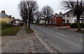
Pinehurst Road towards Whitworth Road, Swindon
Viewed from near this http://www.geograph.org.uk/photo/4400264 derelict former library.
Image: © Jaggery
Taken: 1 Dec 2014
0.10 miles
4
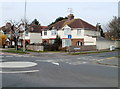
Swindon : corner of Whitworth Road and Crossways Avenue
Viewed across Whitworth Road (B4006).
Image: © Jaggery
Taken: 12 Mar 2011
0.12 miles
5
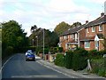
Inglesham Road, Penhill, Swindon
Penhill is a local authority housing estate developed in the early to mid 1950s. Swindon Borough Council took advantage of the Town Development Act 1952 to expand at a rapid rate in the post-war years. Inglesham Road is on the southern edge of Penhill.
Image: © Brian Robert Marshall
Taken: 3 Oct 2008
0.12 miles
6
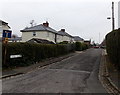
Hazel Grove, Pinehurst, Swindon
Viewed from The Circle looking along Hazel Grove towards Whitworth Road.
This is a through route for walkers and cyclists but not for motor vehicles
because concrete posts block the far end of the road.
Image: © Jaggery
Taken: 1 Dec 2014
0.13 miles
7
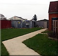
The Circle electricity substation, Pinehurst, Swindon
The SSE Power Distribution electricity substation is opposite this http://www.geograph.org.uk/photo/4400264 derelict former library.
Image: © Jaggery
Taken: 1 Dec 2014
0.15 miles
8
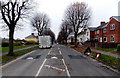
Pinehurst Road speed bumps, Swindon
Viewed from The Circle looking along Pinehurst Road towards Whitworth Road.
Image: © Jaggery
Taken: 1 Dec 2014
0.15 miles
9
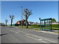
Pollarded trees, Pinehurst Road
Severely pollarded trees in Pinehurst road. Behind them are garages and an old chapel, now refurbished as a children's nursery.
Image: © Vieve Forward
Taken: 21 Apr 2020
0.16 miles
10
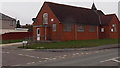
Derelict former library, Pinehurst, Swindon
Boarded up in December 2014, the building became redundant when a new library opened nearby. http://www.geograph.org.uk/photo/4265106
Image: © Jaggery
Taken: 1 Dec 2014
0.16 miles