Inglesham Road, Penhill, Swindon
Introduction
The photograph on this page of Inglesham Road, Penhill, Swindon by Brian Robert Marshall as part of the Geograph project.
The Geograph project started in 2005 with the aim of publishing, organising and preserving representative images for every square kilometre of Great Britain, Ireland and the Isle of Man.

There are currently over 7.5m images from over 14,400 individuals and you can help contribute to the project by visiting https://www.geograph.org.uk
Inglesham Road, Penhill, Swindon
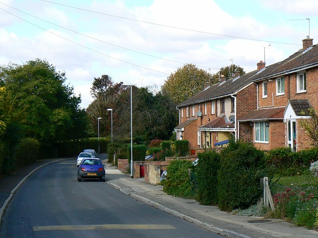
Image: © Brian Robert Marshall Taken: 3 Oct 2008
Penhill is a local authority housing estate developed in the early to mid 1950s. Swindon Borough Council took advantage of the Town Development Act 1952 to expand at a rapid rate in the post-war years. Inglesham Road is on the southern edge of Penhill.
Images are licensed for reuse under creativecommons.org/licenses/by-sa/2.0
Image Location
Latitude
51.587407
Longitude
-1.779259