
IMAGES TAKEN NEAR TO
Lady Coventry Road, CHIPPENHAM, SN15 3NE
Introduction
This page details the photographs taken nearby to Lady Coventry Road, SN15 3NE by members of the Geograph project.
The Geograph project started in 2005 with the aim of publishing, organising and preserving representative images for every square kilometre of Great Britain, Ireland and the Isle of Man.

There are currently over 7.5m images from over14,400 individuals and you can help contribute to the project by visiting https://www.geograph.org.uk
Image Map
Images are licensed for reuse under creativecommons.org/licenses/by-sa/2.0
Notes
- Clicking on the map will re-center to the selected point.
- The higher the marker number, the further away the image location is from the centre of the postcode.
Image Listing (18 Images Found)
Images are licensed for reuse under creativecommons.org/licenses/by-sa/2.0
Image
Details
Distance
1
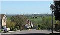
2011 : The Tynings, East Chippenham
Looking down the hill toward the River Avon.
In the larger version it is possible to see the Cherhill Monument and the White Horse Image They are on the hill extreme left.
Image: © Maurice Pullin
Taken: 8 Apr 2011
0.10 miles
2
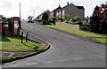
Seymour Road, Chippenham
From Eastern Avenue.
Image: © Jaggery
Taken: 9 May 2015
0.12 miles
3
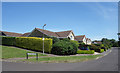
Riverside Drive, Chippenham
The eastern edge of Chippenham. These houses have a view over the River Avon.
Junction with Montague Close.
Image: © Des Blenkinsopp
Taken: 4 Jul 2019
0.14 miles
4
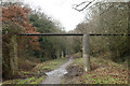
2011 : Dismantled railway to Calne
With pipe bridge. Now a footpath and cycleway.
Image: © Maurice Pullin
Taken: 21 Jan 2011
0.14 miles
5
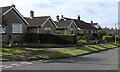
Eastern Avenue houses, Chippenham
The broken white lines on the left are at the Seymour Road http://www.geograph.org.uk/photo/4467958 junction.
Image: © Jaggery
Taken: 9 May 2015
0.14 miles
6
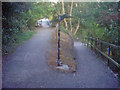
Cycleway junction
Looking south-east across the bridge over the Avon. To the right a couple of hairpins take the cycle-way down the embankment towards Monkton Park. Another carved sign here indicates directions for the cycleway routes.
Image: © Trevor Rickard
Taken: 9 Sep 2009
0.15 miles
7
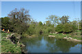
2011 : On the banks of the Avon, Riverside Drive
Looking upstream east of Chippenham.
Next place upstream, Christian Malford.
Note the lifebelt and the yellow notice which warns fishermen of overhead cables.
Image: © Maurice Pullin
Taken: 8 Apr 2011
0.16 miles
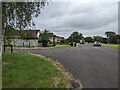
9
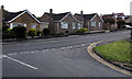
Cocklebury Road bungalows, Chippenham
Viewed from Downham Mead.
Image: © Jaggery
Taken: 9 May 2015
0.17 miles
10
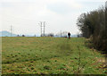
2011 : Footpath near Cocklebury Farm
An area which appears to be much used for exercising dogs.
The dismantled railway to Calne is on the other side of the hedgerow.
Image: © Maurice Pullin
Taken: 21 Jan 2011
0.18 miles