
IMAGES TAKEN NEAR TO
Hawthorn Road, CHIPPENHAM, SN15 1FH
Introduction
This page details the photographs taken nearby to Hawthorn Road, SN15 1FH by members of the Geograph project.
The Geograph project started in 2005 with the aim of publishing, organising and preserving representative images for every square kilometre of Great Britain, Ireland and the Isle of Man.

There are currently over 7.5m images from over14,400 individuals and you can help contribute to the project by visiting https://www.geograph.org.uk
Image Map
Images are licensed for reuse under creativecommons.org/licenses/by-sa/2.0
Notes
- Clicking on the map will re-center to the selected point.
- The higher the marker number, the further away the image location is from the centre of the postcode.
Image Listing (113 Images Found)
Images are licensed for reuse under creativecommons.org/licenses/by-sa/2.0
Image
Details
Distance
1
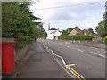
Langley Road, Chippenham
The B4069 at its junction with The Hamlet (right). The road is on the line of Maud Heath's Causeway - see http://www.geograph.org.uk/search.php?i=23287380 . The spire belongs to St Paul's church -see http://www.geograph.org.uk/search.php?i=23287410 .
Image: © Derek Harper
Taken: 19 Jul 2011
0.02 miles
2
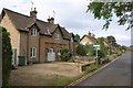
The Hamlet, Chippenham
The Hamlet comprises 17 cottages in "Vernacular Revival style", dating from the mid C19. http://www.britishlistedbuildings.co.uk/en-462502-5-and-6-chippenham describes the nearest pair.
Image: © Derek Harper
Taken: 19 Jul 2011
0.04 miles
3
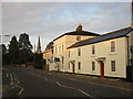
Houses on Langley Road
Houses on Langley Road with St Paul's steeple in the background.
Image: © don cload
Taken: 16 Oct 2011
0.05 miles
5
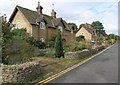
The Hamlet, Chippenham
This is the next pair of cottages http://www.britishlistedbuildings.co.uk/en-462501-3-and-4-chippenham past those shown in Image
Image: © Derek Harper
Taken: 19 Jul 2011
0.06 miles
7
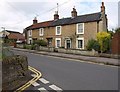
Cottages on Greenway Lane, Chippenham
A terrace of four mid-C19 cottages, seen from the junction with The Hamlet. The listed building description at http://www.britishlistedbuildings.co.uk/en-462233-numbers-11-17-odd-and-attached-front-wal includes the front walls.
Image: © Derek Harper
Taken: 19 Jul 2011
0.12 miles
9
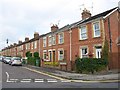
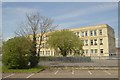
Ashfield Road, Chippenham
Part of a brick terrace of 22 houses, seen from Greenway Lane.
Image: © Derek Harper
Taken: 19 Jul 2011
0.14 miles
10
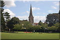
St Paul's church
From John Cole's Park.
Image: © richard noyes
Taken: 22 Aug 2009
0.14 miles