
IMAGES TAKEN NEAR TO
Lower Stanton St. Quintin, CHIPPENHAM, SN14 6BY
Introduction
This page details the photographs taken nearby to SN14 6BY by members of the Geograph project.
The Geograph project started in 2005 with the aim of publishing, organising and preserving representative images for every square kilometre of Great Britain, Ireland and the Isle of Man.

There are currently over 7.5m images from over14,400 individuals and you can help contribute to the project by visiting https://www.geograph.org.uk
Image Map
Images are licensed for reuse under creativecommons.org/licenses/by-sa/2.0
Notes
- Clicking on the map will re-center to the selected point.
- The higher the marker number, the further away the image location is from the centre of the postcode.
Image Listing (6 Images Found)
Images are licensed for reuse under creativecommons.org/licenses/by-sa/2.0
Image
Details
Distance
1
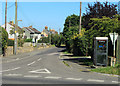
2012 : Seagry Road, Lower Stanton St.Quintin
Heading east to Upper Seagry and Seagry.
Fairly new houses and a new phone box.
Image: © Maurice Pullin
Taken: 7 Sep 2012
0.10 miles
2
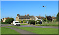
2012 : A429 at Lower Stanton St. Quintin
Looking across the main road to houses on Seagry Road.
Image: © Maurice Pullin
Taken: 7 Sep 2012
0.13 miles
3
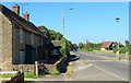
2012 : A429 heading north from Lower Stanton St.Quintin
Corston a little over two miles then on to Malmesbury.
Image: © Maurice Pullin
Taken: 7 Sep 2012
0.14 miles
4
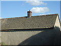
A cascade of tiles
This roof is dressed with traditional Cotswold stone tiles: note how the top rows are the smallest and the sizes gradually increase as they go down.
Image: © Neil Owen
Taken: 5 Jun 2020
0.16 miles
5
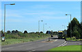
2012 : A429 at Lower Stanton St. Quintin
Heading south to Chippenham.
Image: © Maurice Pullin
Taken: 7 Sep 2012
0.19 miles
6
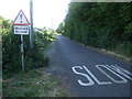
Walkers on road
Not often the pedestrians have a road sign.
Image: © Neil Owen
Taken: 5 Jun 2020
0.24 miles