2012 : Seagry Road, Lower Stanton St.Quintin
Introduction
The photograph on this page of 2012 : Seagry Road, Lower Stanton St.Quintin by Maurice Pullin as part of the Geograph project.
The Geograph project started in 2005 with the aim of publishing, organising and preserving representative images for every square kilometre of Great Britain, Ireland and the Isle of Man.

There are currently over 7.5m images from over 14,400 individuals and you can help contribute to the project by visiting https://www.geograph.org.uk
2012 : Seagry Road, Lower Stanton St.Quintin
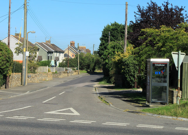
Image: © Maurice Pullin Taken: 7 Sep 2012
Heading east to Upper Seagry and Seagry. Fairly new houses and a new phone box.
Images are licensed for reuse under creativecommons.org/licenses/by-sa/2.0
Image Location
Latitude
51.525959
Longitude
-2.122762