IMAGES TAKEN NEAR TO
Queens Crescent, CHIPPENHAM, SN14 0NR
Introduction
This page details the photographs taken nearby to Queens Crescent, SN14 0NR by members of the Geograph project.
The Geograph project started in 2005 with the aim of publishing, organising and preserving representative images for every square kilometre of Great Britain, Ireland and the Isle of Man.

There are currently over 7.5m images from over14,400 individuals and you can help contribute to the project by visiting https://www.geograph.org.uk
Image Map
Images are licensed for reuse under creativecommons.org/licenses/by-sa/2.0
Notes
- Clicking on the map will re-center to the selected point.
- The higher the marker number, the further away the image location is from the centre of the postcode.
Image Listing (15 Images Found)
Images are licensed for reuse under creativecommons.org/licenses/by-sa/2.0
Image
Details
Distance
1
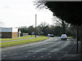
2009 : Looking south on Hungerdown Lane, Chippenham
Along with Saltersford Lane to the south and Hardenhuish Lane to the north Hungerdown Lane gives Chippenham half of an inner ring road.
Image: © Maurice Pullin
Taken: 16 Feb 2009
0.05 miles
2
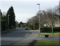
2009 : Queens' Crescent, Chippenham
That is how it is spelled on the sign, with the apostrophe after the s.
Image: © Maurice Pullin
Taken: 16 Feb 2009
0.06 miles
3
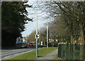
2009 : Looking north on Hungerdown Lane, Chippenham
Part of Chippenham's partial inner ring road with a timely warning to drivers with lead in their shoes.
Image: © Maurice Pullin
Taken: 16 Feb 2009
0.09 miles
4
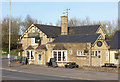
The Pheasant
Public house on the outskirts of Chippenham.
Image: © Wayland Smith
Taken: 25 Mar 2017
0.18 miles
5
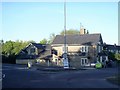
The Pheasant
This pleasant public house is mid 19th century with later extensions. Listed, grade II, with details at: https://www.historicengland.org.uk/listing/the-list/list-entry/1268140
Image: © Michael Dibb
Taken: 22 Apr 2017
0.18 miles
6
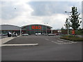
DIY Store, Chippenham
A view looking to the southwest over the carpark of the new retail park in the hungerdown area of Chippenham. As of June 2006, this building, and others on the site, are not marked on the OS map. The main London-Bristol rail line runs to the left of the image, with the A4 road on the right.
Image: © Phil Williams
Taken: 27 Jun 2006
0.20 miles
7
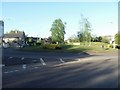
Metheun Park roundabout
The roundabout is at the junction of Bath Road, A4, and the B4528.
Image: © Michael Dibb
Taken: 22 Apr 2017
0.21 miles
8
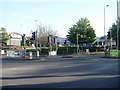
A plethora of street furniture
All this street furniture is at the entrance to a retail park containing some of the usual suspects.
Image: © Michael Dibb
Taken: 22 Apr 2017
0.22 miles
9
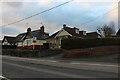
Bungalows on Bath Road, Chippenham
It's Bath Road from Hounslow and I completed the run from Corsham back to there and beyond on the way back.
Image: © David Howard
Taken: 4 Jan 2020
0.23 miles