2009 : Looking south on Hungerdown Lane, Chippenham
Introduction
The photograph on this page of 2009 : Looking south on Hungerdown Lane, Chippenham by Maurice Pullin as part of the Geograph project.
The Geograph project started in 2005 with the aim of publishing, organising and preserving representative images for every square kilometre of Great Britain, Ireland and the Isle of Man.

There are currently over 7.5m images from over 14,400 individuals and you can help contribute to the project by visiting https://www.geograph.org.uk
2009 : Looking south on Hungerdown Lane, Chippenham
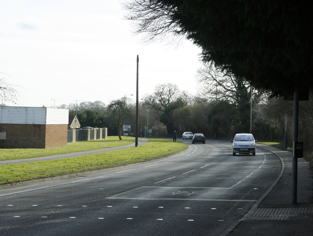
Image: © Maurice Pullin Taken: 16 Feb 2009
Along with Saltersford Lane to the south and Hardenhuish Lane to the north Hungerdown Lane gives Chippenham half of an inner ring road.
Images are licensed for reuse under creativecommons.org/licenses/by-sa/2.0
Image Location
Latitude
51.45176
Longitude
-2.1394