
IMAGES TAKEN NEAR TO
Quemerford, CALNE, SN11 8UH
Introduction
This page details the photographs taken nearby to Quemerford, SN11 8UH by members of the Geograph project.
The Geograph project started in 2005 with the aim of publishing, organising and preserving representative images for every square kilometre of Great Britain, Ireland and the Isle of Man.

There are currently over 7.5m images from over14,400 individuals and you can help contribute to the project by visiting https://www.geograph.org.uk
Image Map
Images are licensed for reuse under creativecommons.org/licenses/by-sa/2.0
Notes
- Clicking on the map will re-center to the selected point.
- The higher the marker number, the further away the image location is from the centre of the postcode.
Image Listing (19 Images Found)
Images are licensed for reuse under creativecommons.org/licenses/by-sa/2.0
Image
Details
Distance
1
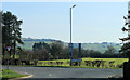
2012 : A4 crossing the end of the road to Compton Bassett
Right for Calne, left for Cherhill and Hyde Park Corner.
Image: © Maurice Pullin
Taken: 11 Mar 2012
0.03 miles
3
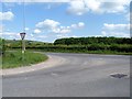
Minor road meets A4
The minor road from Compton Bassett meets the A4. The Cherhill monument can be seen on the skyline. See Image
Image: © Michael Dibb
Taken: 24 May 2017
0.04 miles
4
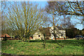
2012 : Grounds and house at Quemerford Gate
Formerly a farm, now a hotel. http://www.wheresbest.co.uk/venue/130083/Hayle-Farm-Hotel/
Image: © Maurice Pullin
Taken: 11 Mar 2012
0.07 miles
5
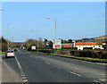
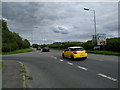
2012 : A4 heading east toward Cherhill
A large roundabout at Beckhampton in four miles, apart from that a clear run to Marlborough.
This is Hayle Corner shortly followed by Quemerford Gate, Quemerford village is behind us.
Image: © Maurice Pullin
Taken: 11 Mar 2012
0.09 miles
6
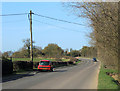
2012 : This way to the tip
Sorry, the environmentally friendly disposal point.
After that the road goes on to Compton Bassett.
Tempted to say something about people who park on the pavement, but don't want to cause any upsets.
Image: © Maurice Pullin
Taken: 11 Mar 2012
0.09 miles
7
![Ploughed and sown [1]](https://s3.geograph.org.uk/geophotos/05/40/33/5403359_0335dffd_120x120.jpg)
Ploughed and sown [1]
Seen from where the footpath is supposed to be. The farmer has ploughed and sown the field right to the edge, obliterating the footpath. The Cherhill monument and white horse can be seen in the far distance.
Image: © Michael Dibb
Taken: 24 May 2017
0.10 miles
8
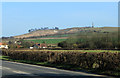
2012 : A4 with Cherhill monuments
The Cherhill White Horse appears and the Lansdowne Monument which was erected by Third Marquis of Lansdowne. A gentleman I met nearby told me the Marquis erected the monument to mark the eastern boundary of his estates.
Image: © Maurice Pullin
Taken: 11 Mar 2012
0.11 miles
9
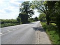
Towards Calne
The A4 road heads towards Calne.
Image: © Michael Dibb
Taken: 24 May 2017
0.11 miles
10
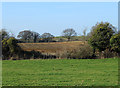
2012 : North from the A4 near Hayles Corner
Grazing foreground, then a ploughed field.
Image: © Maurice Pullin
Taken: 11 Mar 2012
0.12 miles