IMAGES TAKEN NEAR TO
Frimley Avenue, WALLINGTON, SM6 8PJ
Introduction
This page details the photographs taken nearby to Frimley Avenue, SM6 8PJ by members of the Geograph project.
The Geograph project started in 2005 with the aim of publishing, organising and preserving representative images for every square kilometre of Great Britain, Ireland and the Isle of Man.

There are currently over 7.5m images from over14,400 individuals and you can help contribute to the project by visiting https://www.geograph.org.uk
Image Map (Loading...)


Getting Data...Please wait
Leaflet Map data © OpenStreetMap
Images are licensed for reuse under creativecommons.org/licenses/by-sa/2.0
Notes
- Clicking on the map will re-center to the selected point.
- The higher the marker number, the further away the image location is from the centre of the postcode.
Image Listing (30 Images Found)
Images are licensed for reuse under creativecommons.org/licenses/by-sa/2.0
Image
Details
Distance
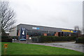
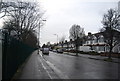
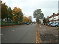
2
Hannibal Way, Croydon
Seen close to the junction with Stafford Road.
Image: © Peter Trimming
Taken: 10 Mar 2015
0.10 miles
3
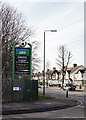
Sign at Hannibal Way, Croydon
Advertising the Power League football facilities.
Image: © Peter Trimming
Taken: 10 Mar 2015
0.10 miles
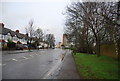
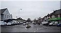
6
Hannibal Way
Stafford Cross industrial estate is on the left.
Image: © N Chadwick
Taken: 27 Feb 2011
0.12 miles
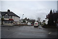
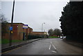
8
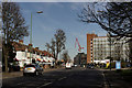
Stafford Road, Croydon
Looking towards Five Ways.
Image: © Peter Trimming
Taken: 10 Mar 2015
0.15 miles