IMAGES TAKEN NEAR TO
Thomas Wall Close, SUTTON, SM1 1SP
Introduction
This page details the photographs taken nearby to Thomas Wall Close, SM1 1SP by members of the Geograph project.
The Geograph project started in 2005 with the aim of publishing, organising and preserving representative images for every square kilometre of Great Britain, Ireland and the Isle of Man.

There are currently over 7.5m images from over14,400 individuals and you can help contribute to the project by visiting https://www.geograph.org.uk
Image Map
Images are licensed for reuse under creativecommons.org/licenses/by-sa/2.0
Notes
- Clicking on the map will re-center to the selected point.
- The higher the marker number, the further away the image location is from the centre of the postcode.
Image Listing (89 Images Found)
Images are licensed for reuse under creativecommons.org/licenses/by-sa/2.0
Image
Details
Distance
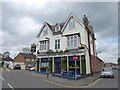
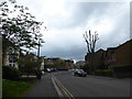
3
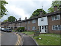
Looking east-northeast along West Street
Image: © Basher Eyre
Taken: 24 Apr 2019
0.04 miles
4
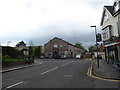
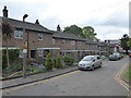
Looking from West Street towards Robin Hood Road
Image: © Basher Eyre
Taken: 24 Apr 2019
0.05 miles
5
The spire of St Nicholas glimpsed from West Street
Image: © Basher Eyre
Taken: 24 Apr 2019
0.06 miles
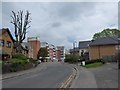
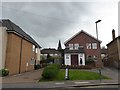
7
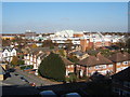
View north from multi-storey carpark, Sutton
Image: © Andrew Hill
Taken: 6 Nov 2007
0.07 miles
8
Approaching the junction of West Street and St Nicholas Way
Image: © Basher Eyre
Taken: 24 Apr 2019
0.07 miles
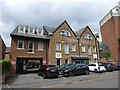
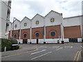
10
Residential parking only, just off St Nicholas Way
Image: © Basher Eyre
Taken: 24 Apr 2019
0.10 miles