IMAGES TAKEN NEAR TO
Crown Lane, MAIDENHEAD, SL6 8QZ
Introduction
This page details the photographs taken nearby to Crown Lane, SL6 8QZ by members of the Geograph project.
The Geograph project started in 2005 with the aim of publishing, organising and preserving representative images for every square kilometre of Great Britain, Ireland and the Isle of Man.

There are currently over 7.5m images from over14,400 individuals and you can help contribute to the project by visiting https://www.geograph.org.uk
Image Map
Images are licensed for reuse under creativecommons.org/licenses/by-sa/2.0
Notes
- Clicking on the map will re-center to the selected point.
- The higher the marker number, the further away the image location is from the centre of the postcode.
Image Listing (140 Images Found)
Images are licensed for reuse under creativecommons.org/licenses/by-sa/2.0
Image
Details
Distance
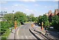
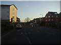
1

Saint-Cloud Way (2)
This is the view east from the high footbridge. The large building on the left is the Magnet Leisure Centre.
Image: © Shazz
Taken: 31 Aug 2013
0.02 miles
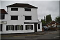
5
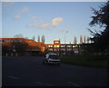
Maidenhead police station
On the A4 roundabout, Saint-Cloud Way
Image: © David Howard
Taken: 19 Feb 2012
0.05 miles
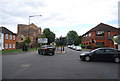
6
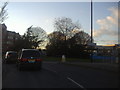
Roundabout on Bridge Road, Maidenhead
At the junction of Fourlease Road
Image: © David Howard
Taken: 19 Feb 2012
0.05 miles
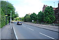
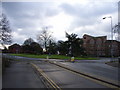
8
Forlease Road at the junction of Moorbridge Road
Image: © David Howard
Taken: 19 Feb 2012
0.06 miles